What is recorded here
Described as a 'Moat' on the 1839 ed. of the OS 6-inch map and as a 'Tumulus' on the 1940 ed. Situated on a scarp immediately overlooking the N-S combined Clonough and Inch Rivers, with the stream immediately to the W. A record made in 1940 includes a fosse (Wth of top c. 7m at W to c. 10m at E; int. D 3-3.5m; ext. D 1.5m) that merges into a berm (Wth c. 10m) S-W, with an outer bank (Wth of base c. 9m; ext. H 3m) SW-NW (OSFM). In 1987 it is a large grass-covered earthen mound (diam. of top 16.5m; diam. of base c. 32m; H c. 3m generally to 5m at W) with some scrub. There is no visible fosse, kerb or outer bank, but it could be a motte.
The above description is derived from the published 'Archaeological Inventory of County Wexford' (Dublin: Stationery Office, 1996). In certain instances the entries have been revised and updated in the light of recent research.
Compiled by: Michael Moore
Date of upload/revision: 20 November 2012
A local ancient tomb; wider significance not recorded.
The monument record does not grant public access. Check the route and ask the landowner before entering private land.
- What survives
- Recorded monument
Places near here
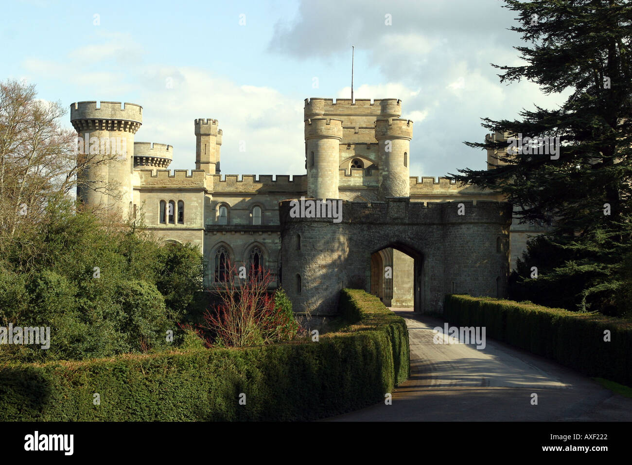 MoatArchaeological place · 3 yd
 Hydepark Housewalled garden · 487 yd
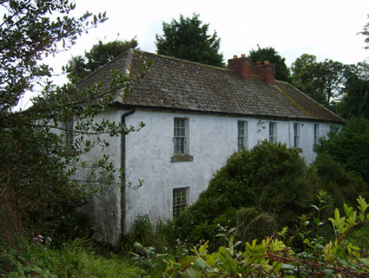 farm housefarm house · 960 yd
 St. Michaels WellHoly well · 1175 yd
 CastleCastle, unclassified · 2.0 mi
 Tara HillMountain / peak · 2.3 mi
 Curragh WoodWood · 2.8 mi
 Ballyfad WoodWood · 3.3 mi
 Clogga StrandBeach / strand · 3.3 mi
 Arklow RockMountain / peak · 3.4 mi
 Nuns BeachBeach / strand · 3.8 mi
 Kia Ora Mini FarmHeritage attraction · 4.3 mi