What is recorded here
In fairly level ground which falls away to the N. In 1992 this was a kidney-shaped mound (dims. 21m NNE-SSW X 6m E-W; H 1.5m) which is truncated by a field boundary to the E. Located along eastern field boundary of what is now a large open field under cereal. Presents as an overgrown area forming a kink in the field boundary. Fantastic views towards the Naul ridge.
Compiled by: Geraldine Stout
Updated by: Christine Baker
Date of upload: 27 October 2014
The monument record does not grant public access. Check the route and ask the landowner before entering private land.
- What survives
- Recorded monument
Places near here
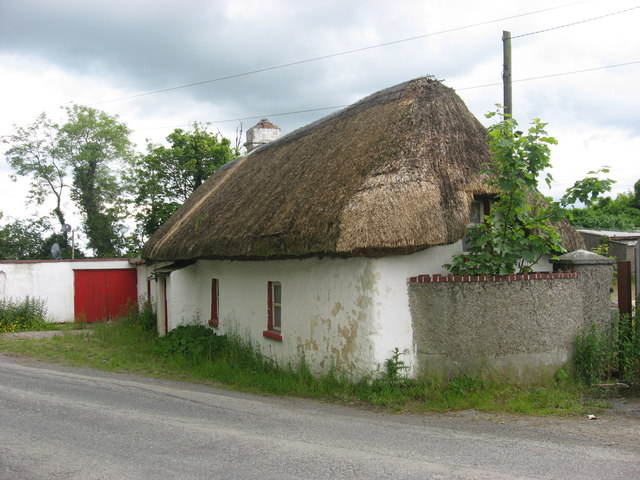 farm housefarm house · 378 yd
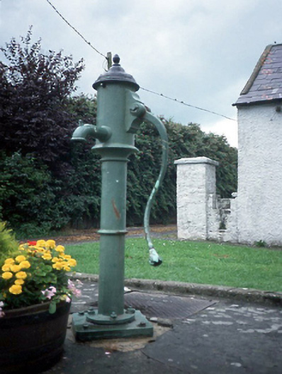 water pumpwater pump · 500 yd
 MoatMound · 566 yd
 TombTomb, effigial · 733 yd
 Newtown GorseWood · 1.2 mi
 Newtown HillMountain / peak · 1.7 mi
 St. John's WellSpring · 2.3 mi
 The story of the milk standMemorial · 2.4 mi
 Cornstown HouseHeritage attraction · 2.5 mi
 PuddenhillHeritage attraction · 2.7 mi
 Lemur WoodWood · 3.6 mi
 Westown HouseCastle, tower house · 3.6 mi