What is recorded here
On high ground with good views in all directions overlooking nearby bridge (TS051-026----) c. 200m to S and mill (TS051-025----) c. 100m to S. Modern bungalow built on site of Millbrook House which was pulled down in the 1940s according to the current landowner who described the old house as having an egg-shaped or oval-shaped thatched roof. Described as one of three thatchted houses in the Civil Survey (Simington 1934, vol. 2, 83) and depicted on the Down Survey map (1655-6) as having a dome-shaped roof. Only fragmentary remains of a walled garden associated with Millbrook House survive where they are incorporated into agricultural buildings.
Compiled by: Jean Farrelly
Date of upload: 26 August 2011
The monument record does not grant public access. Check the route and ask the landowner before entering private land.
- What survives
- Recorded monument
Places near here
 Bridge in Ballinvasa,knockgorman,rossacrow (donohill Par.)Bridge · 170 yd
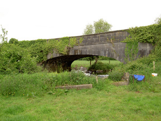 Hawarden Bridgebridge · 486 yd
 IndicatedEnclosure · 698 yd
 CastleCastle, unclassified · 1668 yd
 Enclosure in Ballysheeda (donohill Par.)Enclosure · 1735 yd
 Ballysheeda Castle (in Ruins)Castle, tower house · 1.1 mi
 Green Field ParkWood · 1.4 mi
 Maudemount BogWood · 1.8 mi
 Soloheadbeg Ambushambush · 3.1 mi
 Soloheadbeg Ambush SiteMemorial · 3.8 mi
 GortnageraghMountain / peak · 5.7 mi
 Oola HillMountain / peak · 5.8 mi