What is recorded here
In low-lying grassland. A large poorly preserved subcircular enclosure (NNW-SSE 78m) defined by a drystone wall from WNW through N to SSE. Gap at ENE appears modern. A field wall cuts the monument at WNW and SSE, to SW of which the enclosing element is visible only as a grassed-over bank. A CBG (GA056-092002-) lies in E sector of the interior. When coupled with the td. name, the physical remains suggest that the monument is ecclesiastical in nature.
The above description is derived from the published 'Archaeological Inventory of County Galway Vol. II - North Galway'. Compiled by Olive Alcock, Kathy de hÓra and Paul Gosling (Dublin: Stationery Office, 1999).
Date of upload: 05 August 2010
The monument record does not grant public access. Check the route and ask the landowner before entering private land.
- What survives
- Recorded monument
Places near here
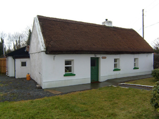 The Cottagehouse · 371 yd
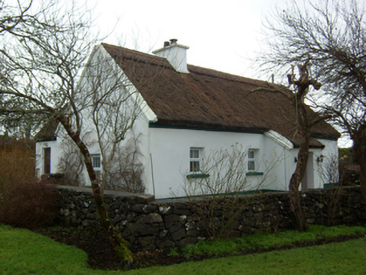 Plum Cottagehouse · 443 yd
 Walsh's IslandIslet · 1433 yd
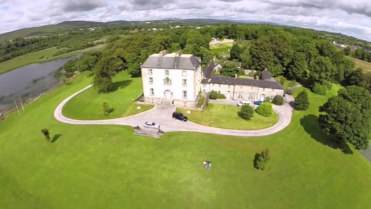 Enclosure in MountrossEnclosure · 1554 yd
 IndicatedFairy fort / earthen ringfort · 1.3 mi
 Cloghanower Castle in ruinsCastle, tower house · 1.7 mi
 Ballinduff BayBay · 2.0 mi
 Willyrogue IslandIslet · 2.2 mi
 Castle in ruinsCastle, tower house · 2.3 mi
 Cúil DiarmuidWood · 2.4 mi
 BallynacreggaWood · 2.7 mi
 Kilcoona Round TowerHeritage attraction · 2.9 mi