What is recorded here
On level ground on the E bank of the S-N Ogulla stream at W, and part of the field system (RO022-113001-). A mill-race (Wth c. 2m) runs parallel with Ogulla stream (L c. 250m), rejoining it c. 50m E of the point where the stream turns NE. (O'Conor et al. 1996)
Compiled by: Michael Moore
Date of upload: 24 August 2010
The monument record does not grant public access. Check the route and ask the landowner before entering private land.
- What survives
- Recorded monument
Places near here
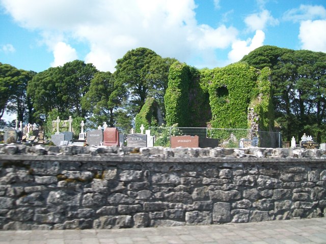 Grave YardGraveyard · 198 yd
 AbbeyReligious house, Dominican friars · 213 yd
 Cruachan Aí Heritage CentreMuseum · 278 yd
 CastleCastle, unclassified · 360 yd
 IndicatedFairy fort / earthen ringfort · 369 yd
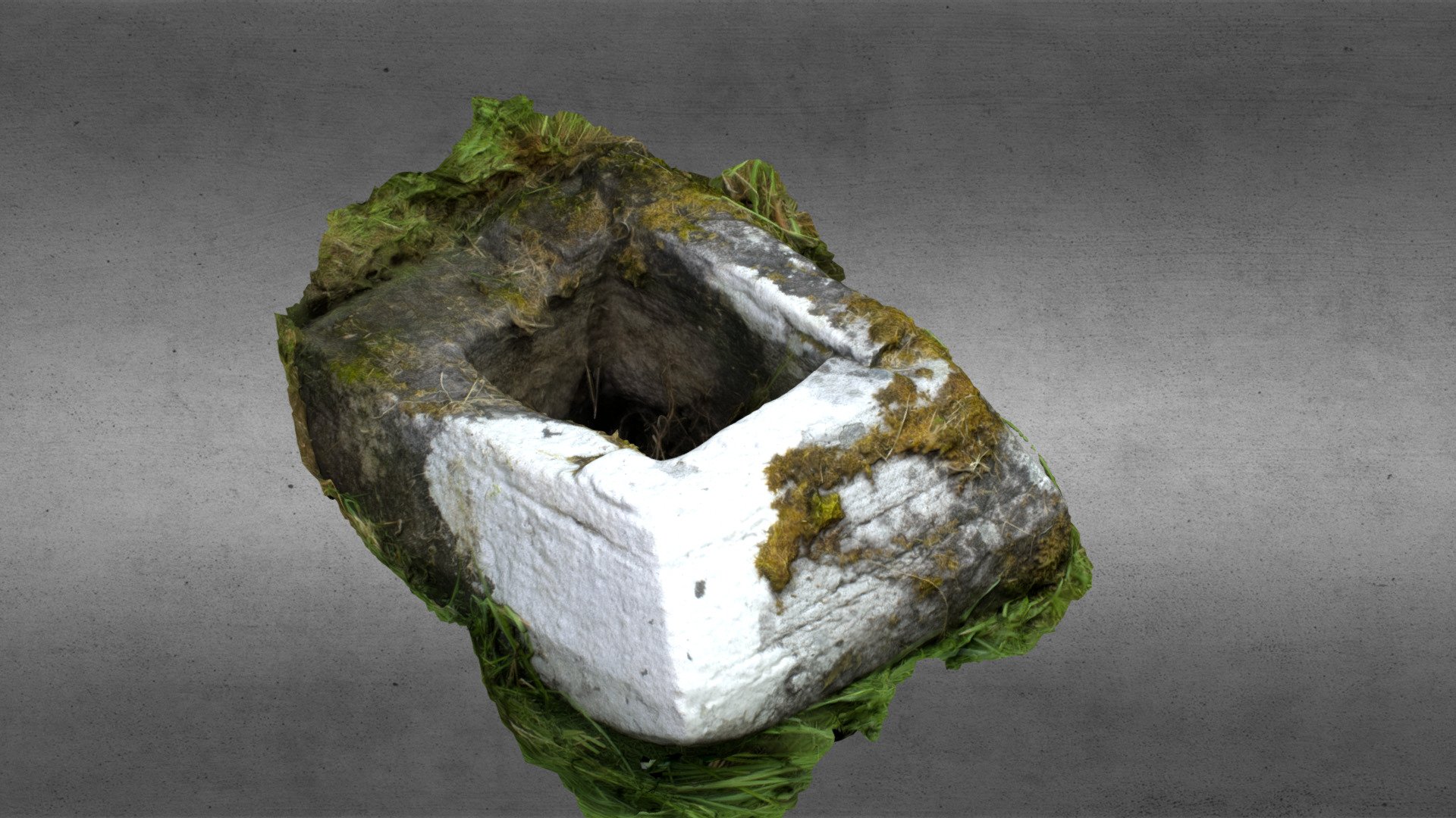 Church in OgullaChurch · 1341 yd
 ToberagullaSpring · 1414 yd
 European ashEuropean ash · 1420 yd
 CastlerubyCastle, unclassified · 2.6 mi
 War of Independence Commemorative Military MemorialMemorial · 4.5 mi
 Sweet ChestnutSweet Chestnut · 6.3 mi
 Silver IslandIslet · 8.5 mi