What is recorded here
A tuck mill at Mocollop that was owned by Lieutenant Thomas Maxwell or Lieutenant John Crocker in 1641 is recorded in the Civil Survey of 1654-6 (Simington 1942, 7). It remains unlocated.
Simington, R. C. (ed.) (1942) The Civil Survey AD 1654-1656, vi, the County of Waterford. Irish Manuscripts Commission. Dublin.
Compiled by: Michael Moore
Date of upload: 18 February 2011
The monument record does not grant public access. Check the route and ask the landowner before entering private land.
- What survives
- Recorded monument
Places near here
 St. Marys ChurchChurch · 158 yd
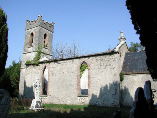 Saint Mary's Church (Lismore and Mocollop)church/chapel · 163 yd
 Mocollop Picnic SitePicnic place · 342 yd
 Mocollop Castle (in ruins)Castle, Anglo-Norman masonry castle · 347 yd
 IndicatedEnclosure · 1.6 mi
 Fulacht fia in CoolbaunFulacht fia · 1.8 mi
 Saint Micheal's Holy WellSpring · 2.2 mi
 Sheanmore Castle (in ruins)Castle, tower house · 2.2 mi
 KnocknaloughMountain / peak · 2.5 mi
 KnockadullaunMountain / peak · 3.4 mi
 Graveyard in Curraheen (kinnatalloon By.)Graveyard · 3.9 mi
 Natural heritage of CoolagowanVisitor information · 3.9 mi