What is recorded here
The precise location of two grist mills and a tuck mill associated with Milltown Castle (LI048-077----) have not been identified. The 1659 Civil Survey of Limerick recorded that William Creagh of Miltown an Irish papist was owner of 'an old ruynous Castle (LI048-177---/LI047-026002-), the Seates of two Gristmills, and the seate of a tucking Mill' (Simington 1938, 238). The 1654-6 Down Survey map of Ballingaddy parish shows that there were two townlands called Milltown in this parish and that Millmount was annotated 'Miltowne' on this map (NLI, Ms 718). The other townland of Milltown lies adjacent to the SE of the townland of Millmount. No castle or mill sites are depicted on this parish map.
Compiled by: Caimin O'Brien
Date of upload: 20 August 2021
The monument record does not grant public access. Check the route and ask the landowner before entering private land.
- What survives
- Recorded monument
Places near here
 Enclosure in KilmurryEnclosure · 1389 yd
 Teermore Househouse · 1525 yd
 Enclosure in MartinstownEnclosure · 1635 yd
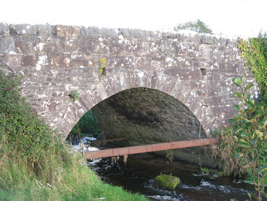 Ballinanima Bridgebridge · 1702 yd
 Ballinvreena LoopVisitor information · 2.0 mi
 Castle (in ruins)Castle, tower house · 2.0 mi
 Ballyhoura tourist informationVisitor information · 2.0 mi
 Treada Na Ríogh (The Moat), hachuredCastle, motte · 2.1 mi
 Palatine's RockNamed rock · 2.7 mi
 Ballyhoura WayWalking route · 3.0 mi
 Edmund's WellSpring · 3.3 mi
 SlievereaghMountain / peak · 3.4 mi