What is recorded here
Queen's mill, one of a pair of mills (LI005-017074-) located between King John's Castle (LI005-017014-) and the medieval quay (LI005-017072-). The two mills were described by Leask (1941, 101) as following; 'At or near the foot of Newgate Lane, the "Rue des Moulins" of the French map [Lenihan 1866, 258], were two water mills (J on Map). They stood out from the wall just below the Curragower reef. These mills are specifically mentioned in the Civil Survey (Simington 1938, 442-3). There seem to have been two stone houses (36ft. by 30ft. [10.8m x 9.1m] and 45ft, by 27ft. [13.7m x 8.2m]) "with two mills (wheels?) therein seated and a thatched house. The map of 1590 [TCD, MS 1209/57] shows them as "Thos. Arthur's" [LI005-017074-] and the "Queen's Mills," and connected with the city wall (LI005-017010-) by a bridge'.
Both of these probably formed 'the King's Mills' mentioned by Hodkinson (2009, 23) who recorded that 'half of the mill building still exists within the grounds of City Hall, where two stubs of walls can be seen projecting out into the river (ibid.).
Compiled by: Caimin O'Brien
Date of upload: 19 November 2019
The monument record does not grant public access. Check the route and ask the landowner before entering private land.
- What survives
- Recorded monument
Places near here
 Bridge in Englishtown,limerick CityBridge · 34 yd
 Heritage FountainMonument · 48 yd
 prison/jailprison/jail · 78 yd
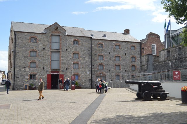 King John's Visitor's CentreMuseum · 107 yd
 Curragower FallsWaterfall · 108 yd
 Graveyard in Limerick CityGraveyard · 117 yd
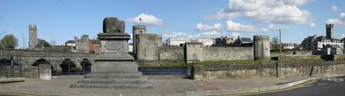 King John's CastleHeritage attraction · 121 yd
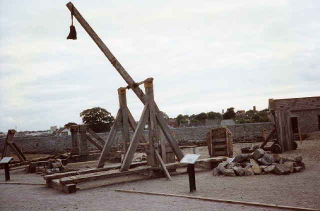 Castle BarracksCastle, Anglo-Norman masonry castle · 129 yd
 Anthony Foley MemorialMemorial · 173 yd
 Merchants QuayQuay · 177 yd
 OutlinedCastle, tower house · 304 yd
 Siege of Limericksiege · 429 yd