
What is recorded here
A map of 1590 [TCD, MS 1209/57] shows two mills "Thos. Arthur's" [LI005-017074-] and the "Queen's Mills" [LI005-017075-], connected with the city wall (LI005-017010-) by a bridge. Both of these probably formed 'the King's Mills' mentioned by Hodkinson (2009, 23) who recorded that 'half of the mill building still exists within the grounds of City Hall, where two stubs of walls can be seen projecting out into the river (ibid.).
Compiled by: Matt Kelleher
Date of upload: 25 July 2023
The monument record does not grant public access. Check the route and ask the landowner before entering private land.
- What survives
- Recorded monument
Places near here
 Heritage FountainMonument · 52 yd
 Curragower FallsWaterfall · 78 yd
 prison/jailprison/jail · 109 yd
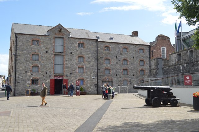 King John's Visitor's CentreMuseum · 128 yd
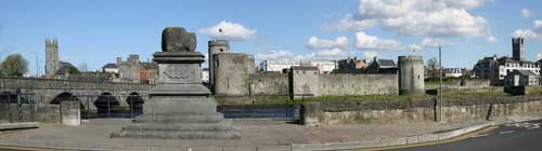 King John's CastleHeritage attraction · 128 yd
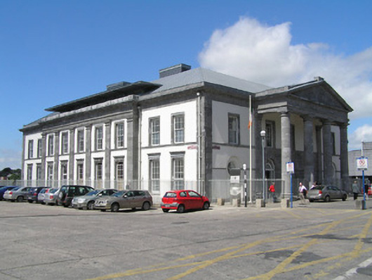 Limerick Courthousecourt house · 129 yd
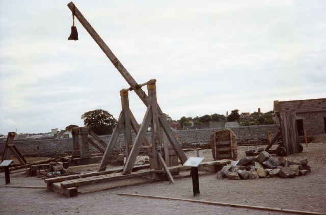 Castle BarracksCastle, Anglo-Norman masonry castle · 136 yd
 Anthony Foley MemorialMemorial · 140 yd
 Graveyard in Limerick CityGraveyard · 143 yd
 Six Gun BatteryMonument · 186 yd
 OutlinedCastle, tower house · 330 yd
 Siege of Limericksiege · 434 yd
Other information
Photo: Credit not shown in the picture search · Rights wording not checked; contact us if this picture should be removed