What is recorded here
Unlocated watermill which stood on the W bank of the stream running through Kilcomin to the SE of Kilcomin Church (Abbey) that is depicted on the Down Survey (1655-6) map of the area. Medieval church ruins (OF041-004----) of Kilcomin depicted on the 17th century Down Survey map of Kilcomin Parish (NLI, MS 716). On this map a medieval watermill is depicted standing on the W bank of the stream a short distance to the SE of the church. The terrier of the Down Survey parish map of Kilcomin recorded that, 'there are two small Rivoletts passing though it on which stands two Mill one at Clonlisk [OF045-043----] and one at Kilcomin where likewise there are the walls of a church' (ibid.). In 1641 the church and watermill stood on lands belonging to the Irish Papist, Charles Carroll.
See attached Down Survey parish map showing the church and watermill at Kilcomin, courtesy of the National Library of Ireland
The above description is derived from the published 'Archaeological Inventory of County Offaly' (Dublin: Stationery Office, 1997). In certain instances the entries have been revised and updated in the light of recent research.
Revised by: Caimin O'Brien
Date of revised upload: 6 October 2022
The monument record does not grant public access. Check the route and ask the landowner before entering private land.
- What survives
- Recorded monument
Places near here
 AbbeyChurch · 394 yd
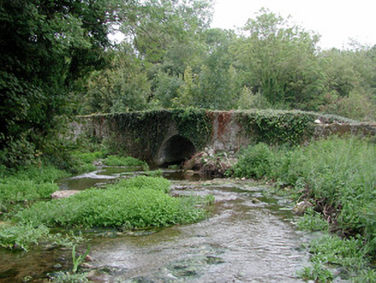 bridgebridge · 443 yd
 Cangort WoodWood · 1325 yd
 Grave YardGraveyard · 1.6 mi
 Behamore CastleCastle · 1.6 mi
 Bawn in ShinroneBawn · 1.6 mi
 Fulacht fia in AdruelFulacht fia · 1.7 mi
 Knockanacree WoodForest · 3.3 mi
 Thomas MacDonagh Heritage CentreMuseum · 3.8 mi
 MacDonagh HouseMemorial · 3.8 mi
 Eagle HillMountain / peak · 5.0 mi
 James Devaney MemorialMemorial · 8.9 mi