What is recorded here
A mill at Fortchester, the property of William Doyle in 1640, is listed in the Civil Survey (1654-56) (Simington 1953, 10). William owned 200 acres at Fortchester, 200 acres in Gorteen and 200 acres in Kiltybegs (Killybegs) within Inch parish. The mill is unlocated, although it may have been the corn mill that is marked on the 1839 ed. of the OS 6-inch map at Ballyconlore on the boundary of Fortchester Lower and Gorteen Upper.
Compiled by: Michael Moore
Date of upload: 14 February, 2012
Amended: 16 May, 2014
The monument record does not grant public access. Check the route and ask the landowner before entering private land.
- What survives
- Recorded monument
Places near here
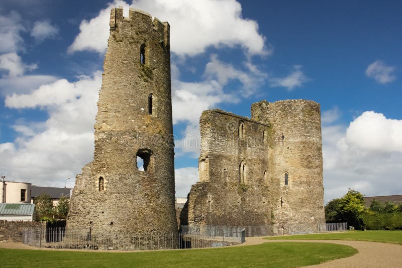 site of Fort and CastleFortification · 302 yd
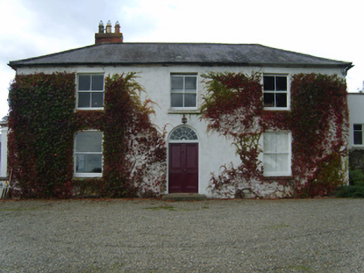 Knockbawnfarm house · 683 yd
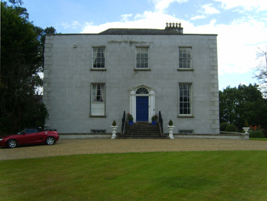 Saint Austin's Housecountry house · 790 yd
 Concentric enclosure in Coolgreany DemesneConcentric enclosure · 1198 yd
 CastleCastle, unclassified · 1446 yd
 Ballyfad WoodWood · 1660 yd
 Curragh WoodWood · 1.5 mi
 White Heaps 1798Memorial · 2.9 mi
 Laraheen HillMountain / peak · 3.5 mi
 Tara HillMountain / peak · 3.7 mi
 Clogga StrandBeach / strand · 4.3 mi
 Nuns BeachBeach / strand · 4.6 mi