What is recorded here
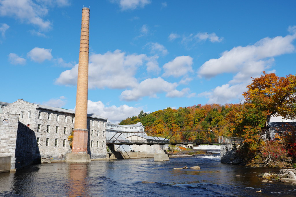
A grist mill is mentioned at Ballycanvan in the Civil Survey of c. 1655 (Simington 1942, 163), and an 'old mill' is marked in Faithlegg on the 1840 ed. of the OS 6-inch map on the E bank of a S-N stream just above the high water mark. It is not visible at ground level.
Simington, R. C. (ed.) (1942) The civil Survey AD 1654-1656, vi, the County of Waterford. Irish Manuscripts Commission. Dublin.
Compiled by: Michael Moore
Date of upload: 10 November 2010
The monument record does not grant public access. Check the route and ask the landowner before entering private land.
- What survives
- Recorded monument
Places near here
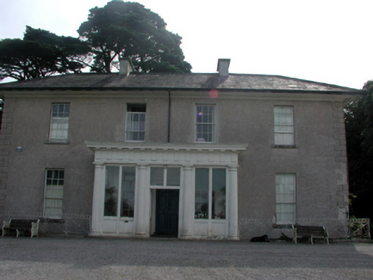 Woodland Househouse · 488 yd
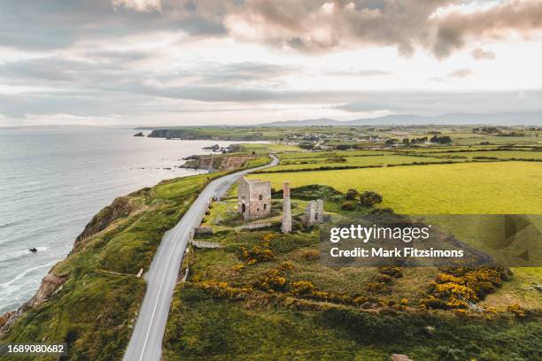 MoteCastle, motte · 788 yd
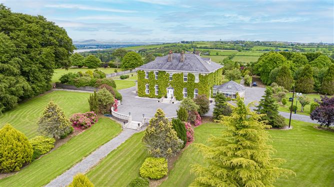 Settlement cluster in CoolbunniaSettlement cluster · 815 yd
 Castle (in Ruins)Castle, tower house · 841 yd
 Faithlegg Housegate lodge · 860 yd
 Grave YardGraveyard · 950 yd
 Minaun HillMountain / peak · 1.2 mi
 The MinaunViewpoint · 1.2 mi
 Ballinakill WoodsWood · 1.7 mi
 Cheek PointHeadland · 1.9 mi
 Monterey CypressMonterey Cypress · 1.9 mi
 Catherine's BayBay · 2.0 mi
Other information
Photo: Credit not shown in the picture search · Rights wording not checked; contact us if this picture should be removed