What is recorded here
The terrier accompanying the Down Survey (1655-6) parish map of ‘St Patricks Parish’ (Hibernia Regnum, courtesy of Trinity College Dublin) notes, ‘In Drackland is a Castle well repaired a strong Bawn and a good mill’. The proprietors in 1640 are listed as ‘David & Jo. Rooth’.
The mill is not indicated on the parish map, however, it is likely to have been located on the W bank of the Breagagh River, along the portion that corresponds with the mid-17th-century townland boundary of Drakesland, which includes Drakeland Lower townland and the NE portion of Poulgour townland. The precise location of the mill is unknown within these two townlands.
See attached extract from the Down Survey (1655-6) terrier accompanying the parish map of ‘St Patricks Parish’ (Hib. Reg., courtesy of Trinity College Dublin)
Compiled by: Jean Farrelly
Date of upload: 22 September 2020
The monument record does not grant public access. Check the route and ask the landowner before entering private land.
- What survives
- Recorded monument
Places near here
 Bawn in Gardens (kilkenny City By., St. John's Par.)Bawn · 504 yd
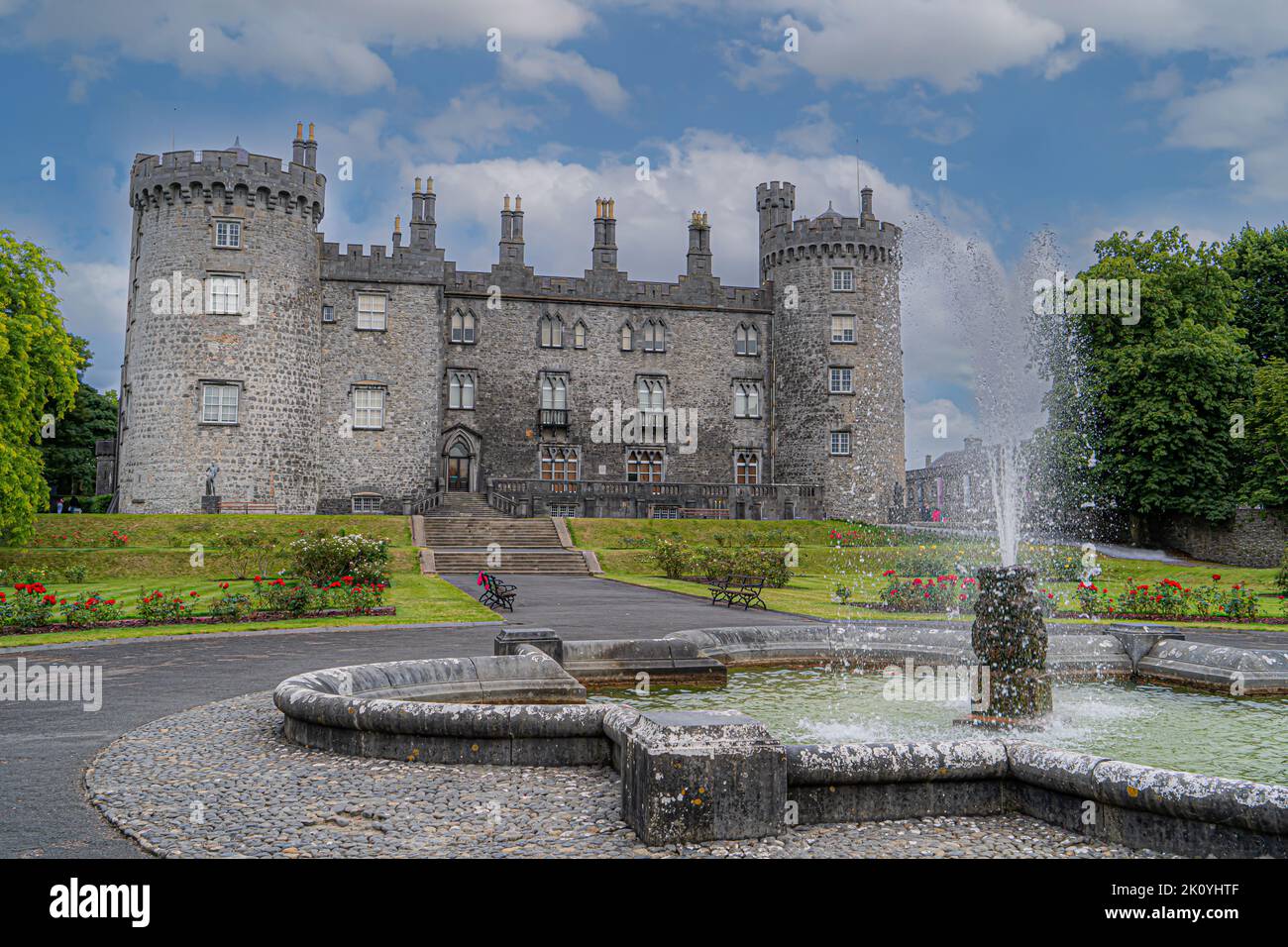 CastleCastle, tower house · 594 yd
 European ashEuropean ash · 639 yd
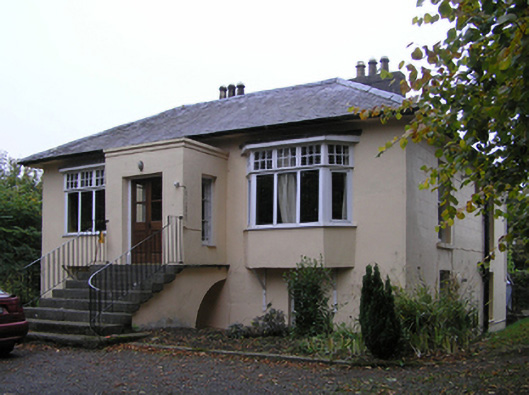 Blunden Villahouse · 644 yd
 Castle Blundengates/railings/walls · 671 yd
 Enclosure in Drakeland MiddleEnclosure · 888 yd
 Enclosure in DicksboroughEnclosure · 964 yd
 River LifeVisitor information · 1073 yd
 The FordVisitor information · 1081 yd
 Kilkenny GaolMemorial · 1129 yd
 Paddy ButlerMemorial · 1329 yd
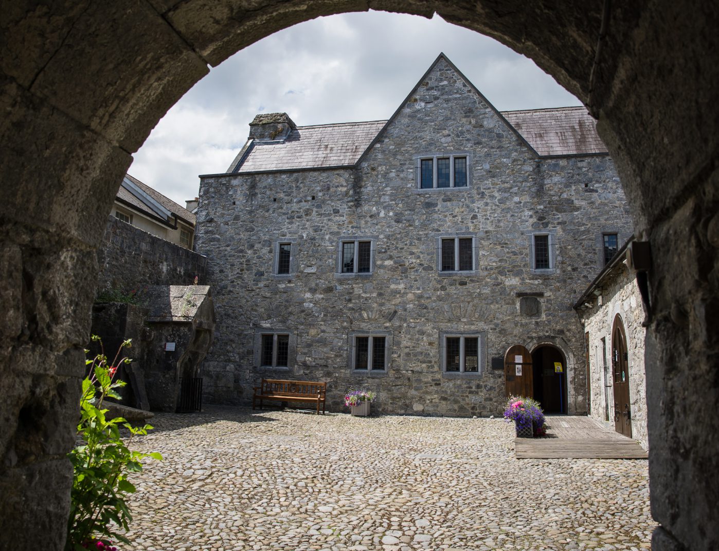 Rothe House & GardenMuseum · 1744 yd