
What is recorded here
In tillage. A roughly circular enclosure (diam. c. 52m), defined from N-E-S by a fosse which is visible as a cropmark on satellite imagery (Google Earth, imagery date 10 August 2022), identified and reported by Jean-Charles Caillère. The outline of the perimeter from S-W-N has been preserved in a curving field boundary.
See attached imagery:
KK019-149----_01 Google Earth satellite imagery date 10 August 2022
Compiled by: Jean Farrelly
Date of upload: 26 June 2023
The monument record does not grant public access. Check the route and ask the landowner before entering private land.
- What survives
- Recorded monument
Places near here
 Dicksborough Ringfort (rath)Archaeological place · 374 yd
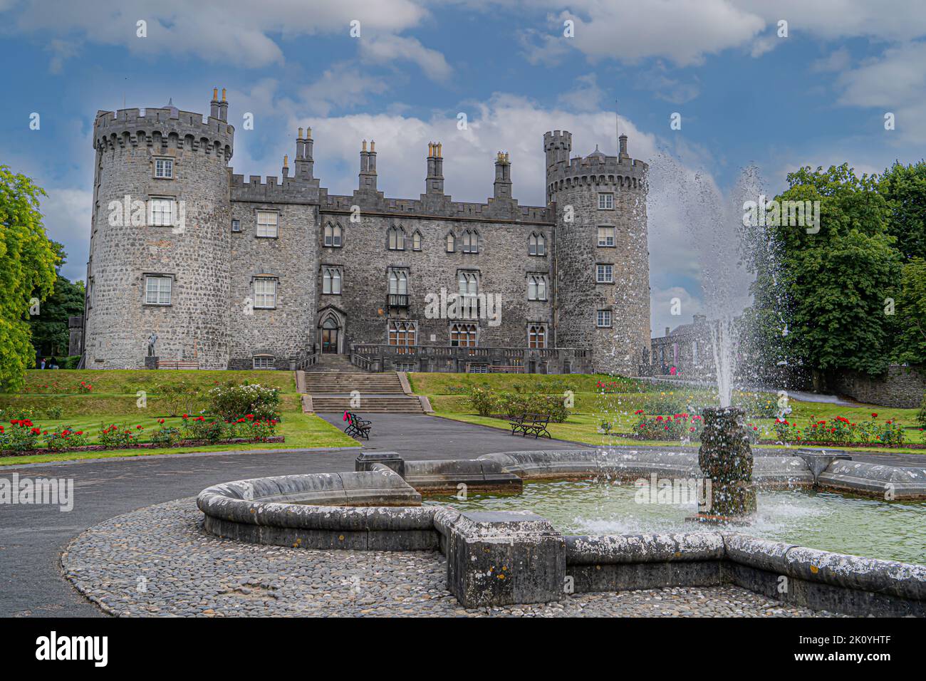 CastleCastle, tower house · 381 yd
 Enclosure in Drakeland MiddleEnclosure · 840 yd
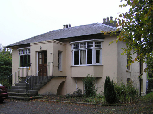 Blunden Villahouse · 922 yd
 Bawn in Kilcreen (shillelogher By.)Bawn · 959 yd
 European ashEuropean ash · 974 yd
 Castle Blundengates/railings/walls · 1004 yd
 Kilkenny GaolMemorial · 1.1 mi
 Paddy ButlerMemorial · 1.1 mi
 River LifeVisitor information · 1.2 mi
 The FordVisitor information · 1.2 mi
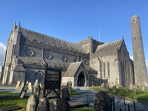 St. Canice's CathedralVisitor information · 1.4 mi
Other information
Photo: Credit not shown in the picture search · Rights wording not checked; contact us if this picture should be removed