What is recorded here
Listed in the SMR as an unlocated monument with the classification 'Mill'. Not shown on any edition of the OS 6-inch map. It's inclusion in the SMR is apparently based upon the depiction of a mill in this area on the Downe Survey Barony map (1655-6). It's location has not been identified.
Compiled by: Patrick F. O'Donovan
Date of upload: 26 July 2012
The monument record does not grant public access. Check the route and ask the landowner before entering private land.
- What survives
- Recorded monument
Places near here
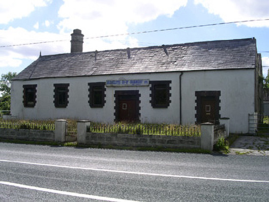 Drumcliffe Co-Operative Creamerycreamery · 375 yd
 Castle (in Ruins)Castle, unclassified · 992 yd
 Urlar Househouse · 1092 yd
 Tober PatrickArchaeological place · 1105 yd
 CastleCastle, unclassified · 1416 yd
 Round Tower (in Ruins)Round tower · 1426 yd
 Grave of WB YeatsHeritage attraction · 1464 yd
 Drumcliff CemeteryGraveyard · 1470 yd
 Floods WoodForest · 1635 yd
 Paddy McGowan's WoodWood · 1.6 mi
 Kings MountainMountain / peak · 1.8 mi
 Finned PointHeadland · 2.0 mi