What is recorded here
Three cut, shaped and morticed wooden beams discovered in the bed of a stream during the course of drainage works in 1984. Stream flows NW-SE and forms the boundary between the townlands of Cloghbally Upper and Fartagh. The location of these timbers on the downhill path of a fast-flowing stream suggests that they were components of a horizontal mill. Additional timbers were noted by the landowner at the same find-spot. Local tradition points to the site of an 'old road' aligned E-W, crossing the stream to S of mill site.
The above description is derived from the published 'Archaeological Inventory of County Cavan' (Dublin: Stationery Office, 1995). In certain instances the entries have been revised and updated in the light of recent research.
Date of upload/revision: 22 December 2008
The monument record does not grant public access. Check the route and ask the landowner before entering private land.
- What survives
- Recorded monument
Places near here
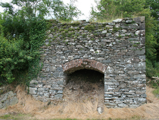 kilnkiln · 1370 yd
 Cloghbally LowerMountain / peak · 1644 yd
 Cloghballybeg ForestForest · 1.1 mi
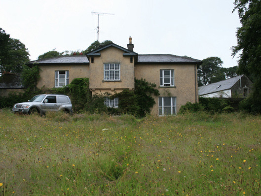 Lake View Housecountry house · 1.3 mi
 Crow IslandIslet · 1.5 mi
 TobernacallyHoly well · 1.5 mi
 Grave YardGraveyard · 1.6 mi
 Sally IslandIslet · 1.6 mi
 Feegat ForestWood · 1.8 mi
 CastleCastle, unclassified · 2.0 mi
 FortsCastle, motte and bailey · 2.2 mi
 MaperathMountain / peak · 3.4 mi