What is recorded here
A grist mill owned by Lord Cork in 1640 but rented by Mr. Hill is recorded at Cappoquin in the Civil Survey of 1654-6. It remains unlocated. (Simington 1942, 7)
Simington, R. C. (ed.) (1942) The Civil Survey AD 1654-1656, vi, the County of Waterford. Irish Manuscripts Commission. Dublin.
Compiled by: Michael Moore
Date of upload: 21 March 2011
The monument record does not grant public access. Check the route and ask the landowner before entering private land.
- What survives
- Recorded monument
Places near here
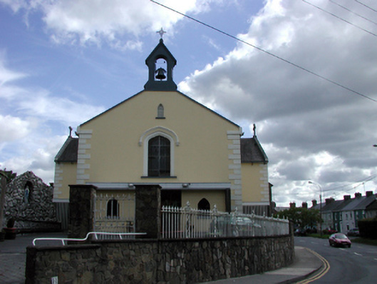 Saint Mary's Catholic ChurchOfficially recorded historic building · 42 yd
 Saint Anne's Church (Lismore and Mocollop)church/chapel · 47 yd
 Cappoquin Ho.Castle, unclassified · 363 yd
 Sweet ChestnutSweet Chestnut · 369 yd
 TombBurial ground · 756 yd
 Coillte infoboardVisitor information · 1.1 mi
 European YewEuropean Yew · 1.3 mi
 WaterfallViewpoint · 1.4 mi
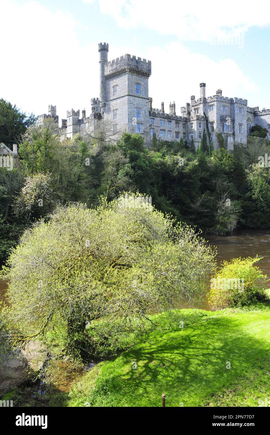 Embanked enclosureFairy fort / ringfort · 1.4 mi
 CastleCastle, unclassified · 1.5 mi
 Battle of AffaneMajor battlefield · 1.6 mi