
What is recorded here
On the W bank of the Owenmore River and immediately W of Collooney. A mill is indicated on the Down Survey (1655-6) barony map on the W bank of the river and next to 'a fall' and on the opposite side of the river to a church (SL020-203001-). There is a substantial bleach mill complex still standing on or near this site. This is probably the mill which according to McGarry (1980, 38) was built in 1797 by a Mr Jackson and was later sold to Alexander Sim who built a flour and corn mill on the opposite bank of the river. Most of the flour and corn mill has been demolished though the remains of wheel-pits and arched head and tailraces are evident. Two mills, one each side of the river, are marked here on the 1838 OS 6-inch map, a third, in Bleachgreen, lies c. 200m to N and is set back from the river.
The above description is derived from the published 'Archaeological Inventory of County Sligo' compiled by Ursula Egan, Elizabeth Byrne, Mary Sleeman with Sheila Ronan and Connie Murphy (Dublin Stationery Office, 2005).
Date of upload: 18 January 2008
The monument record does not grant public access. Check the route and ask the landowner before entering private land.
- What survives
- Recorded monument
Places near here
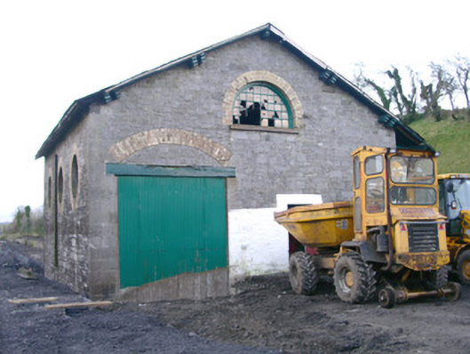 Collooney Railway Stationstore/warehouse · 92 yd
 Abbey (in Ruins)Church · 117 yd
 Enclosure in BleachgreenEnclosure · 185 yd
 IndicatedFairy fort / earthen ringfort · 339 yd
 Teeling MonumentMemorial · 680 yd
 Battle of Collooneybattle · 714 yd
 European ashEuropean ash · 1705 yd
 Union RockForest · 1.3 mi
 BunreecoillMountain / peak · 1.4 mi
 Castle (Site of)Castle, unclassified · 1.6 mi
 SlievewardMountain / peak · 1.7 mi
 CastleCastle, unclassified · 2.2 mi
Other information
Photo: Credit not shown in the picture search · Rights wording not checked; contact us if this picture should be removed