What is recorded here
Listed in SMR (1992) and RMP (1998) as a dwelling possible site. Depicted on Down Survey map in Lorrha townland, generally in the location of a cluster of buildings marked on the 1st ed. OS 6-inch map as a corn mill and on the 2nd (1903) ed. as 'Mill Farm'. Site inspected c.1995. The grass-covered wall footings of a possible mill building and the mill race survive but there is no evidence that these were the buildings depicted on the Down survey map.
The above description is derived from 'The Archaeological Inventory of County Tipperary. Vol. 1 - North Tipperary' compiled by Jean Farrelly and Caimin O'Brien (Dublin: Stationery Office, 2002). In certain instances the entries have been revised and updated in the light of recent research.
Date of upload/revision: 22 September 2008
The monument record does not grant public access. Check the route and ask the landowner before entering private land.
- What survives
- Recorded monument
Places near here
 The MoatCastle, motte and bailey · 118 yd
 Saint Ruadhan's Church (Lorrha)church/chapel · 183 yd
 Church (in Ruins), Grave yd.Church · 193 yd
 CrossCross, High cross · 200 yd
 Rodans wellHoly well · 282 yd
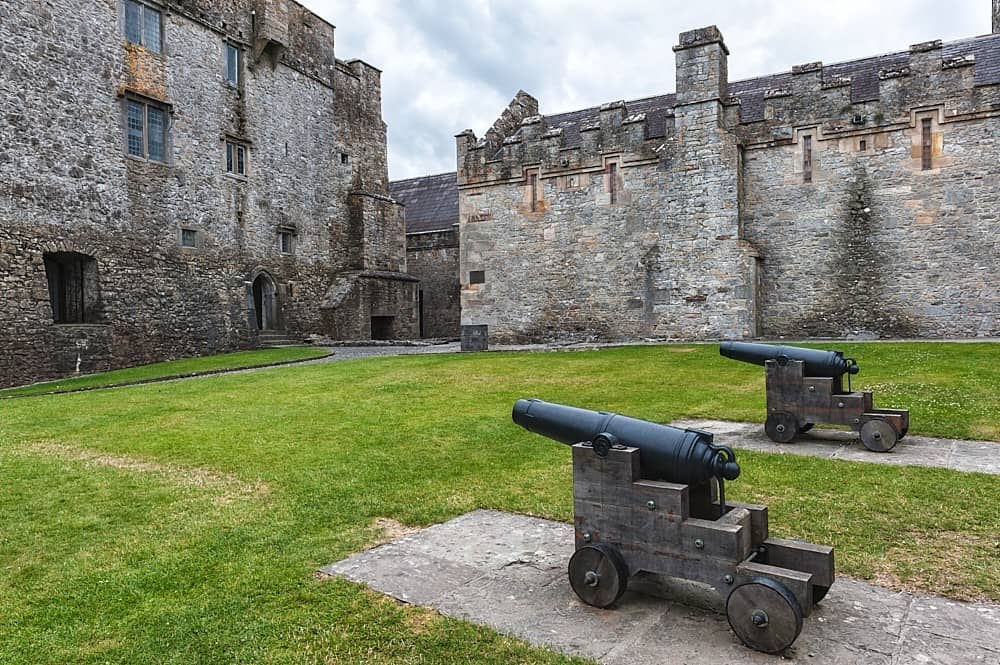 Castle, Kilcarren Ho.Castle, unclassified · 1.6 mi
 Sallow IslandIsland · 2.6 mi
 Slevoir BayBay · 2.8 mi
 Portland IslandIsland · 2.8 mi
 European ashEuropean ash · 3.6 mi
 Black mulberryBlack mulberry · 4.2 mi
 Portumna Castlegate lodge · 4.3 mi