What is recorded here
The following description is derived from both the published 'Archaeological Inventory of County Louth' (Dublin: Stationery Office, 1986) and the 'Archaeological Survey of County Louth' (Dublin: Stationery Office, 1991). In certain instances the entries have been revised and updated in the light of recent research.
Date of upload/revision: 17 July 2007
Situated on high ground to the S of the River Boyne within the medieval walls of Drogheda and consisting of a high steep mound (H 14.7-16m, max. diam. at base 62.5m, at summit 27.6m) with the remains of a D-shaped bailey (Wth 68m by 50m) at the W. Orpen (1908; fig. on p. 249) illustrates the bailey fosse and the line of part of another one at the SE side of the motte which is now occupied by a roadway. He also illustrates a sub-rectangular lower bailey at the NW but there is no surface evidence of this. The name 'Millmount' (the name applied to the site on the OS 6-inch map) is apparently derived from the fact that there was a windmill erected on the motte in the fifteenth century. This was replaced in 1810 by a Martello tower (IFC Schools MSS vol. 680, 200), the remains of which still stand on the summit of the motte. The bailey is clearly defined on all but the N side by a steep escarpment and is now occupied by a housing development. A wall marking the line of the so-called lower bailey is of modern origin and is hardly part of the original defences as the N side of the D-shaped bailey is likely to have returned onto the NW side of the motte. (Orpen 1908, 246-50; CLAJ 1931, 406; CLAJ 1943, 243-4)
The monument record does not grant public access. Check the route and ask the landowner before entering private land.
- What survives
- Recorded monument
Places near here
 Millmount MuseumMuseum · 3 yd
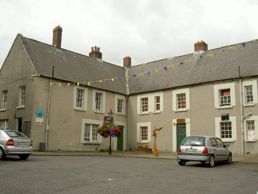 Mill Mount Barracksbarracks · 91 yd
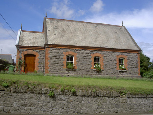 Old School Houseschool · 138 yd
 Siege of Droghedasiege · 283 yd
 St. Patricks WellHoly well · 389 yd
 The ThoselMemorial · 399 yd
 St. Peter's ChurchMemorial · 467 yd
 Font (present location) in MoneymoreFont (present location) · 484 yd
 Magdalene TowerCastle · 811 yd
 Yellow IslandIslet · 2.2 mi
 Platin HouseCastle, unclassified · 2.4 mi
 Grove IslandIslet · 2.5 mi