What is recorded here
Situated immediately E of Lughid Bridge (CL018-006001-) on the S bank of the Carheeny River. Listed as ‘Watermill’ in the RMP (1996) and named ‘Mill (in ruins)’ on the 1840 OS 6-inch map. On inspection in 2002 no evidence of a mill older than the 18th century was found and the site is now an occupied house.
Compiled by: Mary Tunney
Date of upload: 13 June 2016
The monument record does not grant public access. Check the route and ask the landowner before entering private land.
- What survives
- Recorded monument
Places near here
 IndicatedEnclosure · 1006 yd
 Cross in ShanballysallaghCross · 1344 yd
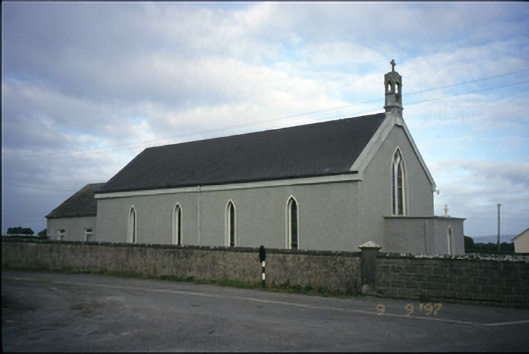 Saint Michael's Catholic Churchchurch/chapel · 1.3 mi
 Moyrhee Castle (ruins)Castle · 1.5 mi
 Bawn in Castlequarter (inchiquin By.)Bawn · 1.5 mi
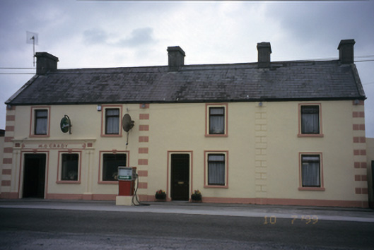 M. O'Gradyhouse · 1.7 mi
 Mulkere MemorialMemorial · 2.2 mi
 Dromore WoodWood · 4.6 mi
 Derrymore WoodWood · 4.6 mi
 Mullagh MoreMountain / peak · 5.1 mi
 Slieve RoeMountain / peak · 5.1 mi
 Swan IslandIsland · 5.2 mi