What is recorded here
This record refers to a corn mill (SL008-164----) shown at Drumcliff on the Down Survey barony and parish maps (1654-8). It is shown on the S bank of the Drumcliff River, to E of a stone bridge (SL008-072001-) and is marked 'a mill' on the barony map and 'Corne mill' on the parish map. It may have been at the location of a mill shown on the 1836-7 OS 6-inch map, which is shown as a large rectangular building on a N-S axis, named 'Corn mill', associated with a cluster of small buildings, and with a mill race which extends to E for several hundred meters and intersects with the Drumcliff River.
Compiled by: Jane O'Shaughnessy
Date of upload: 13 December 2016
The monument record does not grant public access. Check the route and ask the landowner before entering private land.
- What survives
- Recorded monument
Places near here
 Tober PatrickHoly well · 259 yd
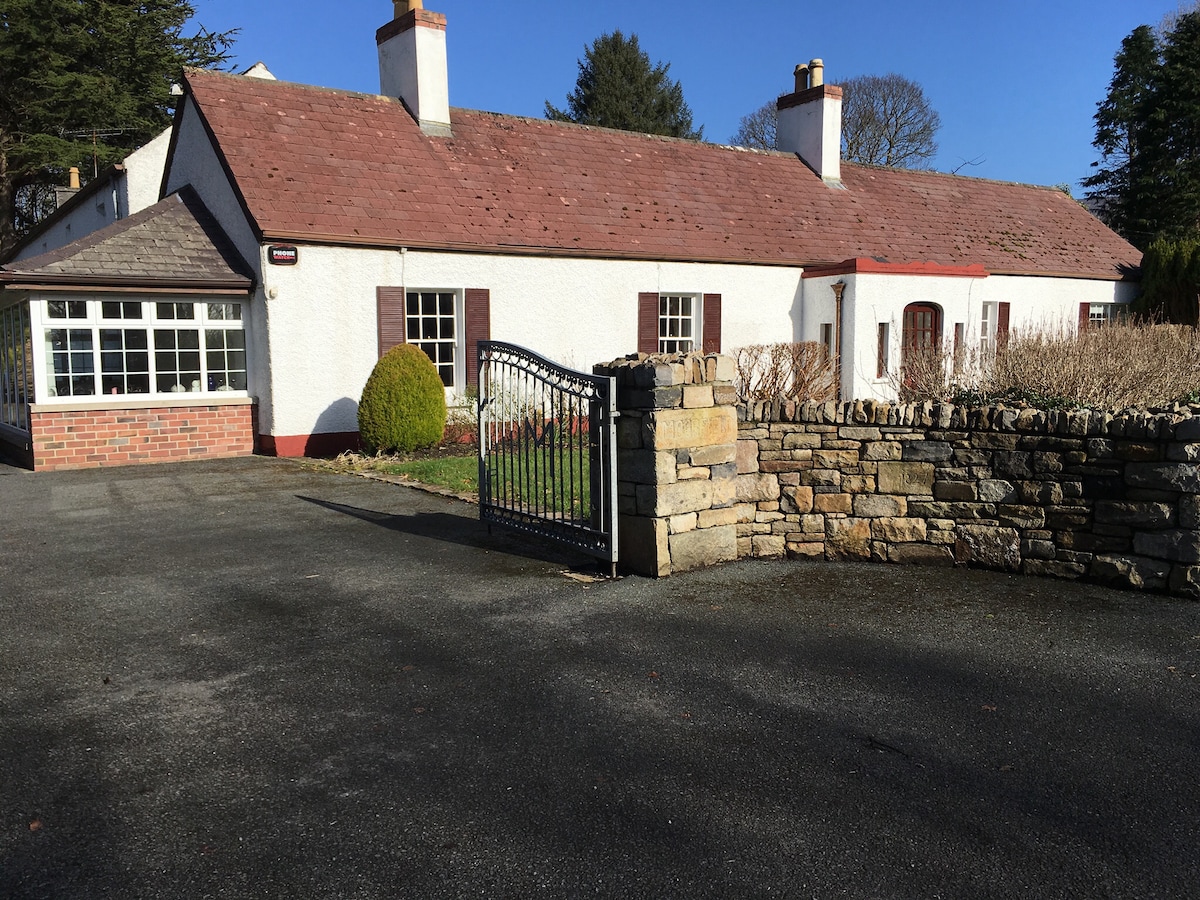 Embanked enclosure in Drumcliff SouthEmbanked enclosure · 406 yd
 Saint Columba's Church (Drumcliff)church/chapel · 838 yd
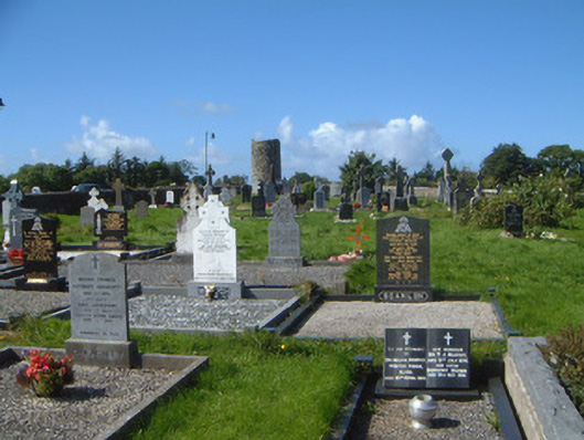 graveyard/cemeterygraveyard/cemetery · 842 yd
 Drumcliff CemeteryGraveyard · 848 yd
 Grave of WB YeatsHeritage attraction · 859 yd
 CastleCastle, unclassified · 1.1 mi
 Castle (in Ruins)Castle, unclassified · 1.6 mi
 Kings MountainMountain / peak · 2.0 mi
 Floods WoodForest · 2.1 mi
 Paddy McGowan's WoodWood · 2.6 mi
 Benbulbin South-East TopMountain / peak · 2.7 mi