
What is recorded here
Owney Mill is mentioned in 1558 when the 'Earl of Sussex and his retinue came through an old abbey (LI014-014002-) and a mill called Onin O'Mollrye' (Seymour 1907, 177). The mill depicted standing on the N bank of the Mulkear River, 70m S of Abbey Owney (LI014-014002-) on the 1840 ed. OS 6-inch map may stand on site of or incorporate the remains of a medieval corn mill depicted on the 1656 Down Survey map of Owneybeg barony (NLI, MS 718). This map depicted a cluster of dwellings (LI014-014001-) standing either side of the Mulkear River in close proximity to the ruins of Owneybeg Abbey (LI014-014002-), a stone bridge (LI014-014008-) and the medieval corn mill (ibid.). The mill is depicted standing on the N bank of the Mulkear River in a location similar to the mill depicted on the 1840 ed. OS 6-inch map. The medieval mill is depicted with a large waterwheel on the gable of the corn mill. The terrier of the Down survey map of Abbeyowneybeg parish recorded that in this parish ‘there is an abbey p[ar]te whereof is Thatcht and about thirty Thatch Houses a good Corne Mill and a bridge on the Mannor of Abbeyowthneybegg’ (ibid.). The 1654-56 Civil Survey of Limerick recorded that in the parish of Abbeyowney there was ‘a Mannor Towne wth the priviledge of a Courte Leete and Courte barron. Ye River of Muilcherne leadinge through the said Towne and a stone bridge thereuppon one Mill two fishing weares a Demolished stone house with two Orchards and a garden upon Rath and Cnocknegurteeny’ (Simington 1938, 3).
No surface remains visible of mill structure depicted on the 1840 ed. OS 6-inch map. A water-filled linear ditch visible on Cambridge University aerial photographs taken 1968 to the E of the mill site may be the remains of a mill-race (CUCAP AVQ093). A linear earthwork to the W of the mill site visible in the aerial photograph could also be related to the mill-race.
Compiled by: Caimin O'Brien and Matt Kelleher
Date of upload: 28 June 2017
The monument record does not grant public access. Check the route and ask the landowner before entering private land.
- What survives
- Recorded monument
Places near here
 IndicatedWeir, fish · 48 yd
 Church in AbingtonChurch · 102 yd
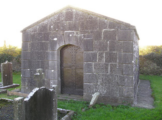 mausoleummausoleum · 109 yd
 Graveyard in AbingtonGraveyard · 113 yd
 CastleCastle, unclassified · 133 yd
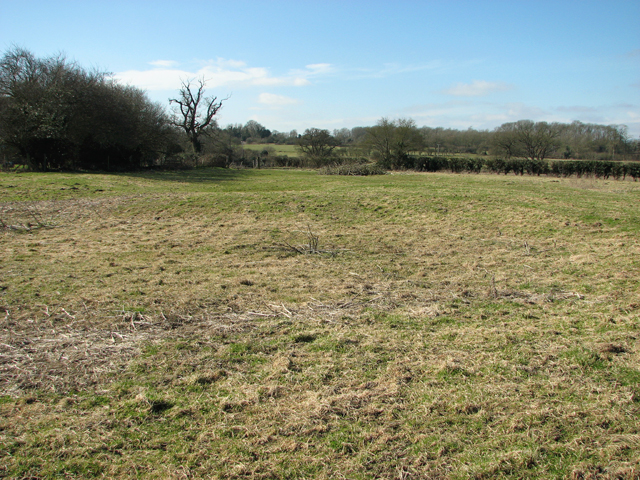 Settlement desertedSettlement deserted, medieval · 280 yd
 Bawn in RathBawn · 1747 yd
 Sliev Felim WayVisitor information · 1.6 mi
 Slieve Felim WayWalking route · 4.5 mi
 KnockseefinMountain / peak · 5.5 mi
 Slieve FelimMountain / peak · 5.5 mi
 ToberagaddySpring · 6.2 mi
Other information
Photo: Credit not shown in the picture search · Rights wording not checked; contact us if this picture should be removed