What is recorded here
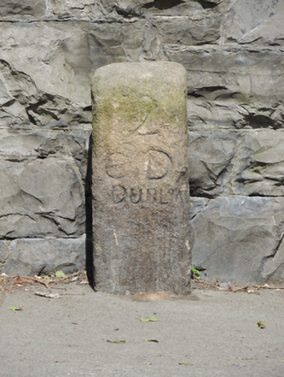
Rectangular-profile granite milestone, erected c.1780, inscribed on front (south-east) elevation. Inscription reads ‘2 / ED / DUBLIN’.
This milestone is a historical reminder of the coaching era in Ireland, when the post office operated a coach-based system of postal distribution. The simple form and carving of the stone is similar to other such milestones found throughout Ireland. The south-east face reads '2 / ED / DUBLIN' indicating the distance from this point on Tyrconnell Road to Dublin to the north-east. Tyrconnell Road was a route of some importance in the eighteenth century, leading to the road marked “Great Road to Munster” on Rocque's map of 1773, now the route of the modern day Naas Road.
This does not grant access. Most recorded buildings are privately owned; view them only from public ground unless the owner allows entry.
Places near here
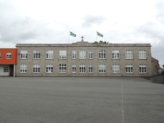 Scoil Mhuire Gan Smálschool · 61 yd
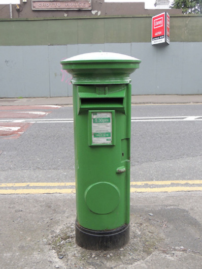 post boxpost box · 71 yd
 Irish Citizen ArmyMemorial · 768 yd
 Toni'sPicnic place · 835 yd
 Burials (site of)Burial · 876 yd
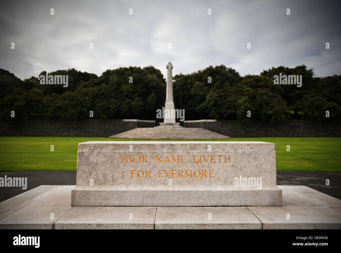 Great Cross of SacrificeMonument · 929 yd
 Executions of the leaders of the 1916 risingMemorial · 1186 yd
 Kilmainham Jail MuseumMuseum · 1228 yd
 Islandbridge LodgeVisitor information · 1627 yd
 Royal Hospital KilmainhamHeritage attraction · 1746 yd
 Mote (site of)Castle, motte · 1.0 mi
 Silver mapleSilver maple · 1.3 mi
Other information
Photo: National Inventory of Architectural Heritage · Website use allowed for educational or private purposes with source credit