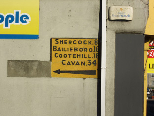
What is recorded here
Mileage sign, c.1930, set into wall of building. Concrete with lettering and numbers in low relief, 'Shercock 8, Bailieboro 16, Cootehill 18, Cavan 34'. Letters in black on yellow background.
This is a rare example of a distance sign set into a wall. Although it is relatively innocuous it points to the early days of motoring in Ireland and also establishes connections between Carrickmacross and various towns in County Cavan.
This does not grant access. Most recorded buildings are privately owned; view them only from public ground unless the owner allows entry.
Places near here
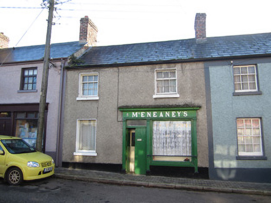 McEneaney'shouse · 53 yd
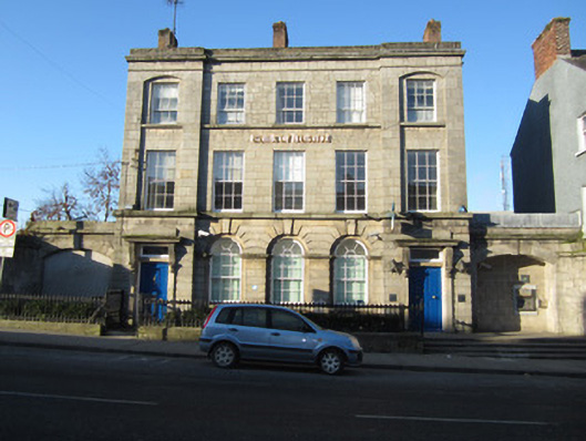 Bank of Irelandbank/financial institution · 60 yd
 Embanked enclosureFairy fort / earthen ringfort · 260 yd
 Tober InverHoly well · 503 yd
 Horse-chestnutHorse-chestnut · 1022 yd
 European BeechEuropean Beech · 1700 yd
 Mannan Castle (in ruins)Castle, Anglo-Norman masonry castle · 2.4 mi
 TobernagalliaghSpring · 3.1 mi
 Drumerlough MoreMountain / peak · 4.3 mi
 Flat cemetery in AnnaheanFlat cemetery · 4.6 mi
 BarleyhillMountain / peak · 4.9 mi
 In Memory of Our DadMemorial · 5.0 mi
Other information
Photo: National Inventory of Architectural Heritage · Website use allowed for educational or private purposes with source credit