
What is recorded here
Granite milestone on Malahide Road, erected c. 1820, having tapered top with pointed head having inset angle-headed cast-iron plate with raised contrasting lettering reading 'GPO Dublin 3/Malahide 6'. Set in roughcast cement-rendered segmental-headed surround with rectangular piers and concrete coping rising from dwarf walls along Malahide Road.
A simple milestone with attached iron plate, standing as an important survivor of historical way-markers in Dublin City. This example attests to the historic status of the Malahide Road as a former 'post road', forming part of a programme of infrastructural upgrading by the post office in the late eighteenth and early nineteenth centuries to facilitate the easy transport of mail. The road is not shown on Taylor and Skinner's map of 1777. The distances are measured from the GPO in Dublin. The raised surround increases the visibility of the milestone and has ensured that it is a prominent feature along the roadside, unlike many that have become obscured or removed in the intervening years.
This does not grant access. Most recorded buildings are privately owned; view them only from public ground unless the owner allows entry.
Places near here
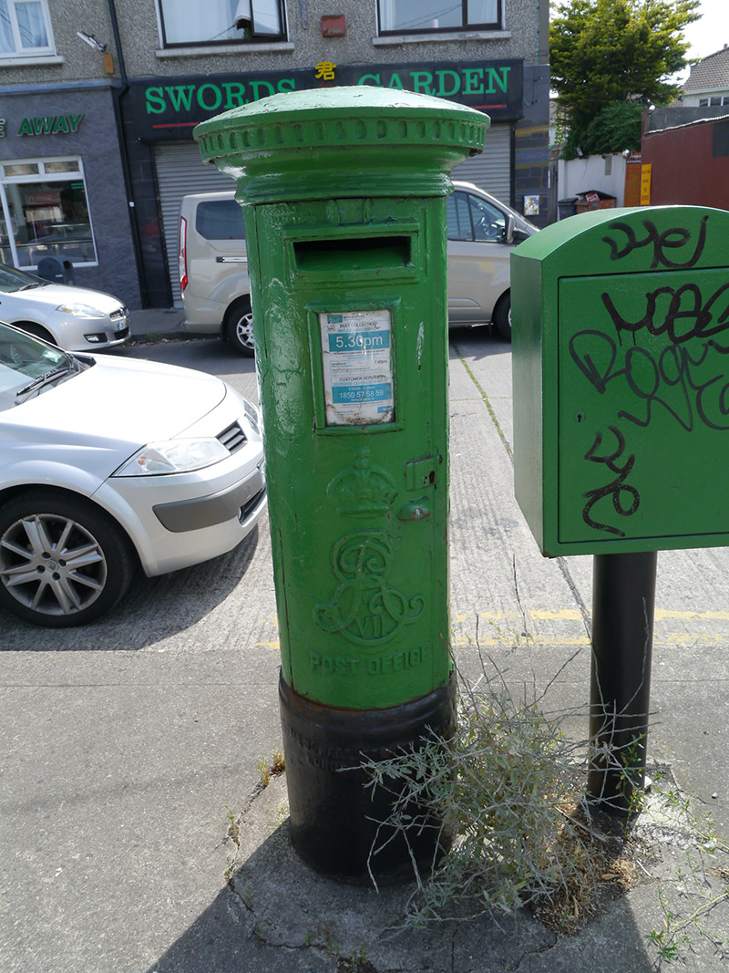 post boxpost box · 270 yd
 Grave Yd. OutlinedGraveyard · 291 yd
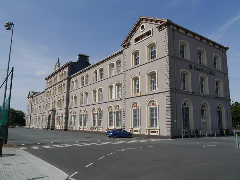 St. David's CBSindustrial school · 486 yd
 St. Dennis WellHoly well · 1403 yd
 Casino at MarinoHeritage attraction · 1488 yd
 London PlaneLondon Plane · 1.0 mi
 Clontarf War MemorialMemorial · 1.1 mi
 Clontarf Castle HotelVisitor information · 1.1 mi
 Battle of ClontarfMajor battlefield · 1.1 mi
 Millennium ArboretumWood · 1.2 mi
 Killing of David Byrnemurder · 1.4 mi
 St Josephs Asylum for the BlindCastle, unclassified · 1.6 mi
Other information
Photo: John S Turner · CC BY-SA 2.0