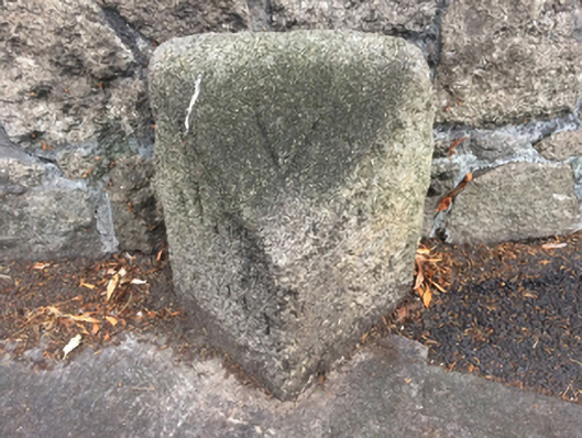
What is recorded here
Freestanding benchmark-inscribed cut-granite milestone, extant 1908, on a triangular plan. Road fronted on concrete footpath.
A weathered milestone making a pleasing, if largely inconspicuous visual statement in Deans Grange Road: meanwhile, a benchmark remains of additional interest for the connections with cartography and the preparation of maps by the Ordnance Survey (established 1824).
This does not grant access. Most recorded buildings are privately owned; view them only from public ground unless the owner allows entry.
Places near here
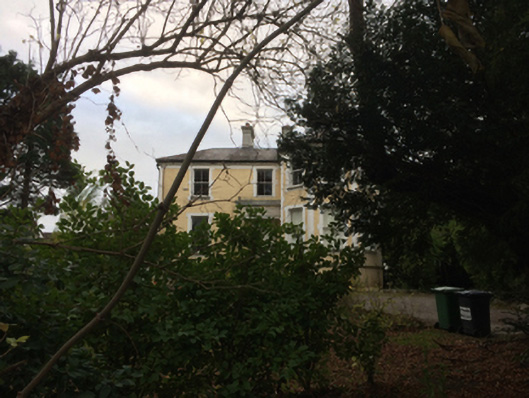 Bellavistahouse · 39 yd
 Rowan Househouse · 372 yd
 Ernest WaltonHeritage attraction · 500 yd
 Hermann Get graveHeritage attraction · 570 yd
 1916 MonumentMonument · 713 yd
 Holy well in Kill OF THE GrangeHoly well · 866 yd
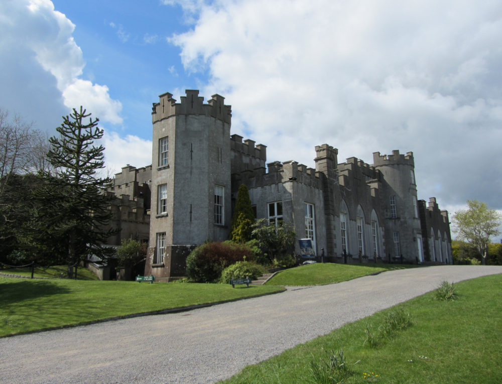 CastleCastle, unclassified · 1189 yd
 Castle (in ruins)Castle, tower house · 1299 yd
 Graveyard in Monkstown HousefarmGraveyard · 1323 yd
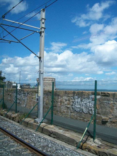 SeapointBeach / strand · 1375 yd
 Nature TrailVisitor information · 1.0 mi
 James Joyce Pub AwardMemorial · 1.0 mi
Other information
Photo: National Inventory of Architectural Heritage · Website use allowed for educational or private purposes with source credit