What is recorded here
Midden in Rostellan is a shallow dish of oyster shells and broken pots exposed when the sea wall failed in 1937. Carbon dating places human activity there between 1490 and 1680, likely fishers or travellers dumping what they ate beside the water. The stones still hold the shape of hands that handled food, heat and departure, even if no name survives.
Discovered September 1937 due to collapse of low sea wall (Coleman 1938, 42). Midden material (mainly oyster shells) visible in patches from E of concrete break water, to S of 'Pedestal' tower (CO088-02201-). A radio-carbon determination of 290 +/- 50 bp (calibrated date range 1490 – 1680 AD) was recovered from oyster shell at this midden (Laboratory: Beta 155381) (Milner & Woodman 2007, 103).
The above description is derived from the published 'Archaeological Inventory of County Cork. Volume 2: East and South Cork' (Dublin: Stationery Office, 1994). In this instance the entry has been revised and updated in the light of recent research.
Revised by: Paul Walsh
Date of upload: 25 June 2012
The monument record does not grant public access. Check the route and ask the landowner before entering private land.
- What survives
- Recorded monument
Places near here
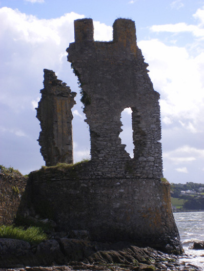 Siddon's Towerfolly · 138 yd
 Burial Ground (Site of)Burial ground · 177 yd
 (Site of) CastleCastle, unclassified · 203 yd
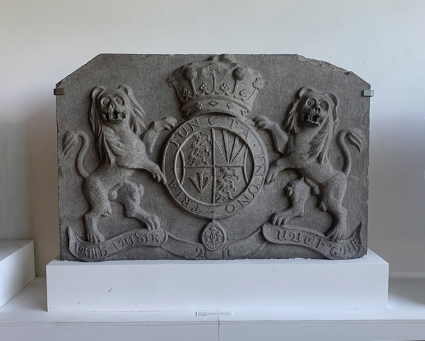 Rostellan CastleCountry house · 242 yd
 Icehouse in RostellanIcehouse · 643 yd
 US Naval Air Station USNAS QueenstownHeritage attraction · 1.0 mi
 Garrankinnefeake GraveyardRuins · 1.1 mi
 Graveyard in AghadaGraveyard · 1.3 mi
 Marloag WoodsWood · 1.3 mi
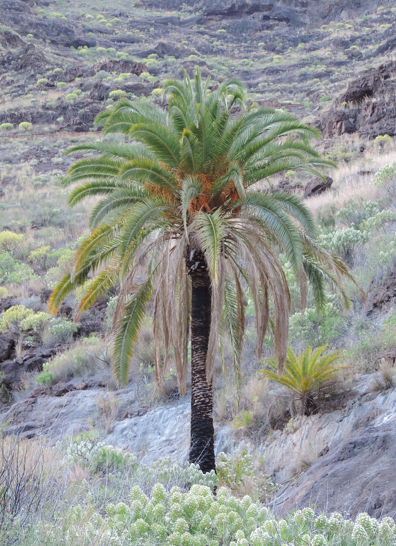 Canary Island date palmCanary Island date palm · 1.5 mi
 CastleCastle, unclassified · 1.7 mi
 Site of old schoolHeritage attraction · 1.8 mi