What is recorded here
This midden is located at the N end of the S or smaller beach at Rosses Point, exposed in section on the N side of a U-shaped indentation at the base of the eroding W-face of the dunes. It is overlain by the pale-coloured sands of the dunes which form a layer 0.9-1.6m high above the midden, but which rise to several meters in height as they extend to E in undulating, marram grass-covered hills. The midden overlies a layer (0.45-0.5m) of orange-brown stony subsoil which rests on bedrock. As a result of differential erosion, a narrow shelf (L c. 8m NW-SE; max. Wth 1.4m NE–SW) of the more weather-resistant stony subsoil protrudes from beneath the dune face. The midden is exposed on the surface of this shelf. The midden is evident as a dense, compact layer (L 6.5m NW–SE; max. D 0.1m) of oyster shells, which also incorporates a small quantity of periwinkles, stones and charcoal fragments. Due to age/weathering, the oyster shells are in a friable and shattered condition. The shell layer is more fully exposed in plan, and is thickest in depth, at its NW end (Wth 1.2m NE–SW; D 0.1m), but towards the SE the shell layer is visible only in section as a thin lens (D 0.002-0.004m). At its SE end, it is overlain by, or incorporated into, a layer (D c. 0.05-0.07m) of rusty orange-coloured sand exhibiting moderate charcoal flecking, with the pale coloured dune sand overlying this. However, at its NW end the pale-coloured dune sands appear to directly overlie the midden. The exposure of the midden appears to have occurred during the period 2014-2015 as a result of high tide and storm action (pers. comm. 18th May 2015: Dr. J. Bonsall, Sligo IT/Masc Project (Monitoring the Archaeology of Sligo's Coastline)).
Attached images;
SL008-203----_01 General location -viewed from SE
SL008-203----_02 Midden viewed from SW
SL008-203----_03 Midden viewed from S
Compiled by: Jane O’Shaughnessy
Date of upload: 26 May 2015
The monument record does not grant public access. Check the route and ask the landowner before entering private land.
- What survives
- Recorded monument
Places near here
 Artillery emplacementsRuins · 56 yd
 Rosses Point BeachBeach / strand · 160 yd
 Enclosure in Rosses UpperEnclosure · 457 yd
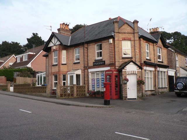 The Old WatchhouseRuins · 486 yd
 Waiting on ShoreMemorial · 590 yd
 Oyster IslandIslet · 1018 yd
 Enclosure in Oyster IslandEnclosure · 1042 yd
 Drumcliff BayBay · 1.1 mi
 Coney IslandIsland · 1.1 mi
 Doonanpatrick IslandIslet · 1.6 mi
 Finned PointHeadland · 1.8 mi
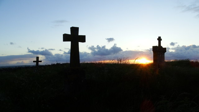 Graveyard in KillaspugbroneGraveyard · 2.2 mi