What is recorded here
Located in a vertical scarp, which forms the land edge on the W shoreline at the narrow S end of the estuary of the River Moy. There are a number of small islands in the river at this point, which are accessible across exposed sandflats at low tide.
A thin lens (L 0.6m; T 0.04-0.05m) of fragmentary cockle shells is visible in section in the earthen scarp (H 1.3m) at a height of c. 0.5-0.6mm above the base of the scarp. A single periwinkle shell was noted amongst the cockle shells. The lower parts of the scarp are covered by bright-green algae which may conceal the full extent of the midden.
Another midden (MA022-124001-) is located 25m to S, exposed in section in the same scarp. Rosserk Abbey (MA022-082001-) is located c. 100m to S.
Compiled by: Jane O’Shaughnessy
Date of upload: 17 June 2016
The monument record does not grant public access. Check the route and ask the landowner before entering private land.
- What survives
- Recorded monument
Places near here
 Rosserk AbbeyHeritage attraction · 183 yd
 Enclosure in Inishdugh IslandEnclosure · 393 yd
 HawthornHawthorn · 486 yd
 Penitential station in RosserkPenitential station · 491 yd
 Mount ReadyFairy fort / earthen ringfort · 893 yd
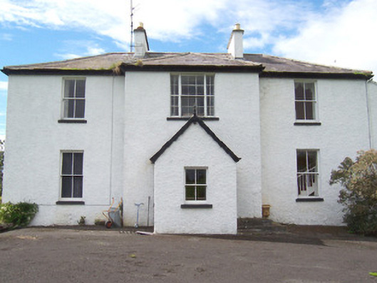 Moysdalerectory/glebe/vicarage/curate's house · 1144 yd
 Rinnachurry PointHeadland · 1220 yd
 Castleconnor (in Ruins)Castle, hall-house · 1506 yd
 Goose IslandIslet · 1.1 mi
 Ballysakeery CastleCastle, unclassified · 1.1 mi
 Rinphilip PointHeadland · 1.2 mi
 Horse IslandIslet · 2.0 mi