What is recorded here
Under a moss-covered stone slab, sheltered by the vertical face of a large rock outcrop to the N. Oyster shells of varying size are scattered on the surface and embedded in black soil in an open S-facing area (L 1m E-W; 0.8m N-S; H 0.2m ) under the slab. Ash and holly trees are growing nearby. A path is 12m to the S and an inlet of the sea is c. 25m further to the S.
The above description is derived from 'The Archaeological Inventory of County Cork. Volume 5' (Dublin: Stationery Office, 2009).
Date of upload: 22 December 2009
The monument record does not grant public access. Check the route and ask the landowner before entering private land.
- What survives
- Recorded monument
Places near here
 The Blue PoolHeritage attraction · 79 yd
 D. O'Connellshop/retail outlet · 282 yd
 The Black Catshop/retail outlet · 300 yd
 Friars IslandIslet · 463 yd
 Graveyard in CappyaughnaGraveyard · 463 yd
 Tasmanian bluegumTasmanian bluegum · 712 yd
 Calf IslandIslet · 919 yd
 Man-made underground passage in CappyaughnaMan-made underground passage · 1177 yd
 Lady Bantry's LookoutViewpoint · 1359 yd
 Bryce HouseMuseum · 1464 yd
 Man-made underground passage in CarrigrourMan-made underground passage · 1473 yd
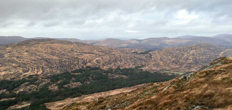 Shrone HillMountain / peak · 1.3 mi