What is recorded here
In the sand-dunes adjacent to the tidal causeway leading to Inis Laighean at E end of Inishbofin. Westropp (1911, 59) refers to 'a midden of shells and burnt stones' at S end of the dunes which contained 'charcoal and peat ... limpets and periwinkles, a few oysters, mussels, and broken bones'. Two roughly circular huts (c. 6.4m by c. 5.5m and c. 5.5m by c. 4.75m), defined by stone foundations, were also noted, built under the shelter of a low jutting rock. No visible surface trace exists today owing to the accumulation of windblown sand. (Killanin and Duignan 1967, 154)
The above description is derived from the published 'Archaeological Inventory of County Galway Vol. I - West Galway'. Compiled by Paul Gosling (Dublin: Stationery Office, 1993).
Date of upload: 05 August 2010
The monument record does not grant public access. Check the route and ask the landowner before entering private land.
- What survives
- Recorded monument
Places near here
 ToberflannanHoly well · 385 yd
 St. Colmans WellHoly well · 417 yd
 Abbey (in Ruins)Church · 441 yd
 Drumhach BeachBeach / strand · 936 yd
 Site of Guairims CastleCastle, unclassified · 1134 yd
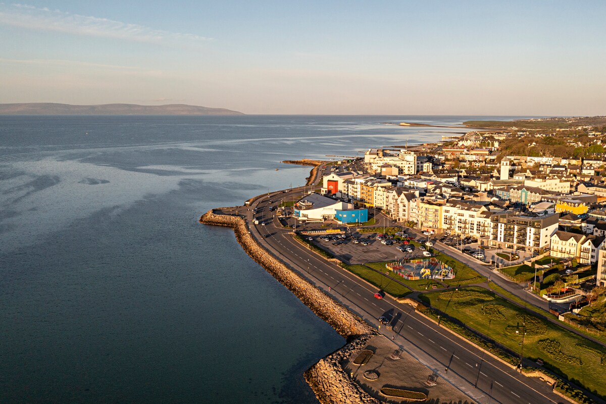 East End BeachBeach / strand · 1319 yd
 Vincent Josef O'HalloranMemorial · 1534 yd
 Port IslandIslet · 1564 yd
 InishlyonMountain / peak · 1631 yd
 Barrack PointHeadland · 1.0 mi
 Inishbofin Signal TowerRuins · 1.2 mi
 InishbofinIsland · 1.2 mi