
What is recorded here
In an indented dune system (L c. 160m), running roughly NW-SE, at the NE tip of Inishlackan. The dunes are highest towards the SE end (H c. 2m), where the most extensive tract of the midden survives. The midden was initially inspected in September 1984 and is still much the same as it was then, when it was visible 'as…
Read the whole record
From the National Monuments Service (Archaeological Survey of Ireland) record GA063-004001
Places near here
Photo credits
- Maker not stated on source page, www.flickr.com
- National Inventory of Architectural Heritage
- Fractal Angel, Wikimedia Commons · CC BY-SA 2.0
- Maker not stated on source page, ie.polomap.com
- Mac McCarron, Geograph · CC BY-SA 2.0
- Maigheach-gheal, Geograph · CC BY-SA 2.0
- Maigheach-gheal, Geograph Ireland
- Hugh Chevallier, Wikimedia Commons · CC BY-SA 2.0
- Jonathan Wilkins, Geograph · CC BY-SA 2.0
- Patrice78500, Wikimedia Commons · Public domain
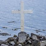 Holy well in InishlackanHoly well · 1161 yd
Explorer Tom Holy well in Inishlackan is a shallow hollow on a rock face. It would cope poorly on a reality show due to lack of…
 Roundstone Dominican MonasteryBell tower/stand · 1.2 mi
Explorer Tom The Roundstone Dominican Monastery bell tower is the only one left, standing there like a lonely finger pointing at the…
 Holy well in Leitreach ArdHoly well · 1.2 mi
Explorer Tom Holy well in Leitreach Ard is hidden under seaweed on rocks exposed at low water. You have to time your visit perfectly…
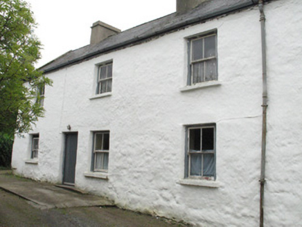 Seaview HouseHouse · 1.3 mi
Explorer Tom Seaview House thinks it invented the concept of looking cool by the sea. It’s been growing up, literally, since it…
 Séipéal Realt na Mara [Catholic Church of Our Lady Star of the Sea]Church/chapel · 1.3 mi
Explorer Tom Séipéal Realt na Mara is in a full-blown feud with the rain because it keeps getting its stained-glass windows wet…
 Mapped graveyardGraveyard · 1.4 mi
Explorer Tom Mapped graveyard in County Galway is genuinely proud of its ability to grow moss on the exact same spot every single…
 Alexander NimmoMemorial · 1.5 mi
Explorer Tom Alexander Nimmo Memorial in County Galway has a secret plan to retire into a nice quiet pub in Scotland. He’s been…
 Trá na FeadóigeBeach / strand · 1.5 mi
Explorer Tom Trá na Feadóige is insisting it was here before the cows arrived, which is a bold claim considering the cows look like…
 Gurteen BeachBeach / strand · 1.6 mi
Explorer Tom Gurteen Beach shines white on the east side of a narrow Connemara peninsula near Roundstone, with another famous strand…
 Inis NíIsland · 1.7 mi
Explorer Tom Inis Ní is an island you can reach without begging a boat for a lift: a bridge near Roundstone carries the road over…
 Trá Chuan an MhadaBeach / strand · 1.8 mi
Explorer Tom Trá Chuan an Mhada has very strong opinions on modern buildings and thinks they all look like they were designed by a…
 Iorras BeagMountain / peak · 2.1 mi
Explorer Tom Iorras Beag rises above Roundstone in County Galway with the swagger of a giant, despite being a fairly modest hill. It…
More archaeology and monuments in County Galway · All of County Galway

What do you know about this place?Tap to add a comment or ask a question