What is recorded here
Twenty metres of broken limpets and periwinkles line the southeast shore of Inishkea North, buried beneath thin sand and living grass. The shells mark repeated human meals, while fire-cracked stones suggest flames burned nearby. A graveyard stands eight metres inland, linking domestic hunger and death on the same small strip of land.
Located on the SE shoreline of Inishkea North. There is a graveyard (MA023-014002-) 8m to N.
A dense layer (L c. D 0.2-0.3m) of seashells, predominately limpets and periwinkles, with occasional fish bones and fire-cracked stones, in a matrix of dark sandy soil, is exposed in section intermittently for a length of c. 20m along the rocky shoreline. It underlies a layer (D 0.1m) of sand topped by sod. The base of the shallow section face is largely obscured by piles of loose stones and boulders tossed up by the sea.
It is a National Monument in state ownership (379).
Attached images:
MA023-014036-_01.JPG Midden exposed in section viewed from S
MA023-014036-_02.JPG E end of midden
MA023-014036-_03.JPG Close up of shells
Compiled by: Jane O’Shaughnessy
Date of upload: 28 July 2023
The monument record does not grant public access. Check the route and ask the landowner before entering private land.
- What survives
- Recorded monument
Places near here
 Enclosure in Inis Gé ThuaidhEnclosure · 231 yd
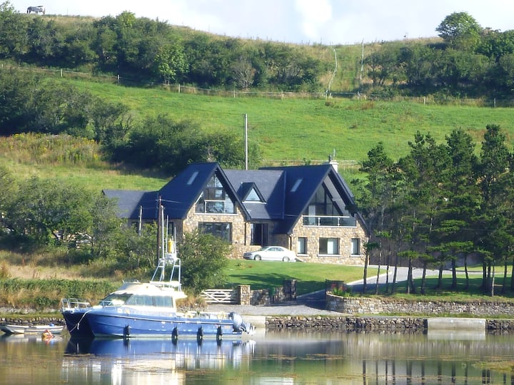 Cross in Inis Gé ThuaidhCross · 314 yd
 Inis Gé ThuaidhIsland · 831 yd
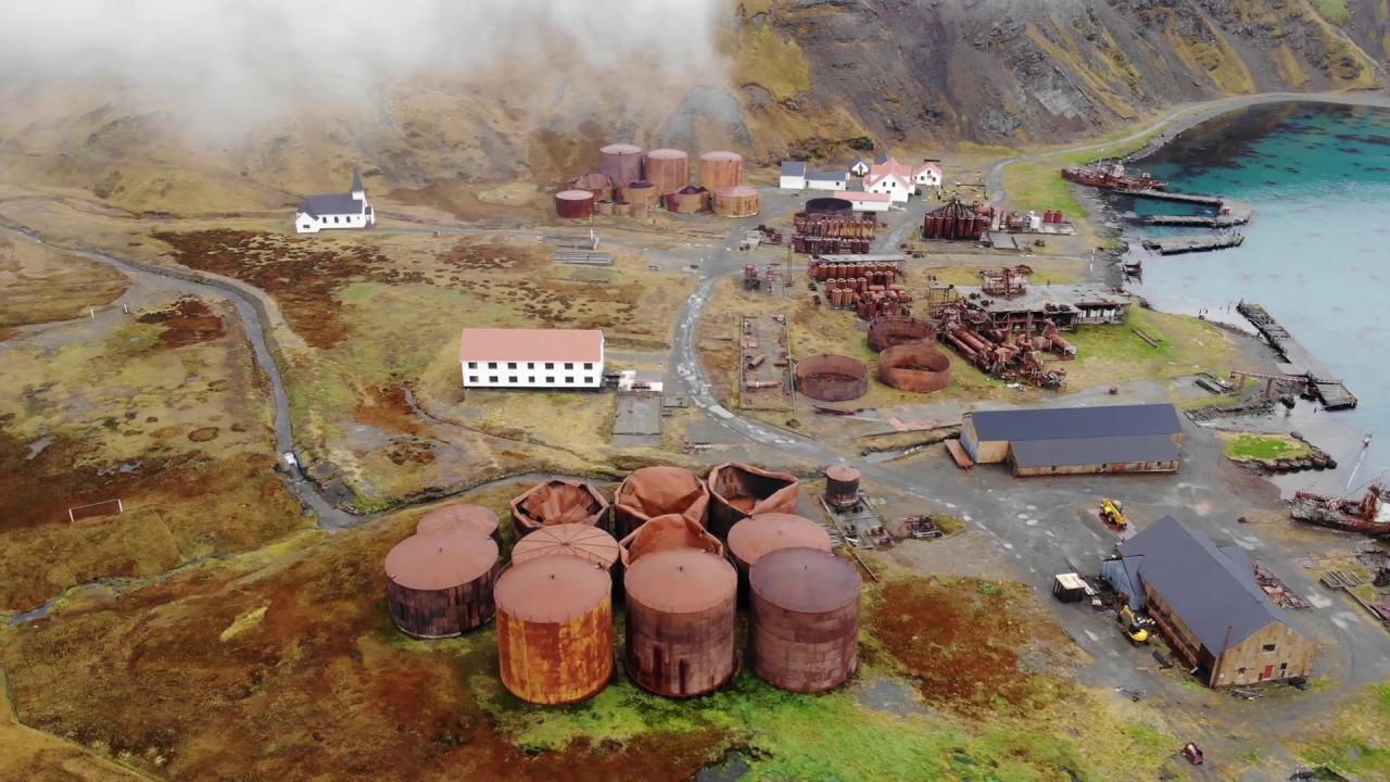 Rusheen Island Whaling StationRuins · 1652 yd
 RoisínIslet · 1703 yd
 Church (in Ruins)Church · 1.1 mi
 Site of Redmond Barretts CastleCastle, unclassified · 3.2 mi
 Termon BeachBeach / strand · 3.9 mi
 Trá OilíBeach / strand · 4.6 mi
 Barranagh Castle in RuinsCastle, unclassified · 5.7 mi
 Cuan an Fhóid DuibhBay · 7.8 mi
 Saddle HeadHeadland · 8.0 mi