What is recorded here
At the most southerly point on the SW shoreline of Inishkea North. A narrow E-W rocky gully, which partly fills with water at high tide, separates this peninsula tip from the rest of the island, and a sea channel (Wth c. 80m) separates it from the N end of Inishkea South.
This midden is exposed in the eroding section-face (Total H 0.8-1m) on the NE side of a low grass-covered sand dune (c. 30 N-S; c. 14m E-W). It is evident as a thin lens (L 4m; D 5-6cm) of limpets shells (noticeably large), with occasional periwinkle shells, in a matrix of dark sand approximately half way down the vertical section face. The layer slopes down gently to SE within the section face, mirroring the natural slope of the dune towards a boulder-strewn strip (Wth 4-5m), which gives way to the bare rocky shoreline.
A layer of pale grey sand (D c. 0.4m) overlies the midden, rising to sod level, and the midden overlies clean, sterile pale-coloured sand (D 0.4-0.5m).
There is a house (MA023-036----) c. 8m to W on the NW edge of the same dune.
Attached images:
MA023-035----_01.JPG Midden viewed from N
MA023-035----_02.JPG Midden viewed from N
MA023-035----_03.JPG Close-up of shells
Compiled by: Jane O’Shaughnessy
Date of upload: 1 August 2023
The monument record does not grant public access. Check the route and ask the landowner before entering private land.
- What survives
- Recorded monument
Places near here
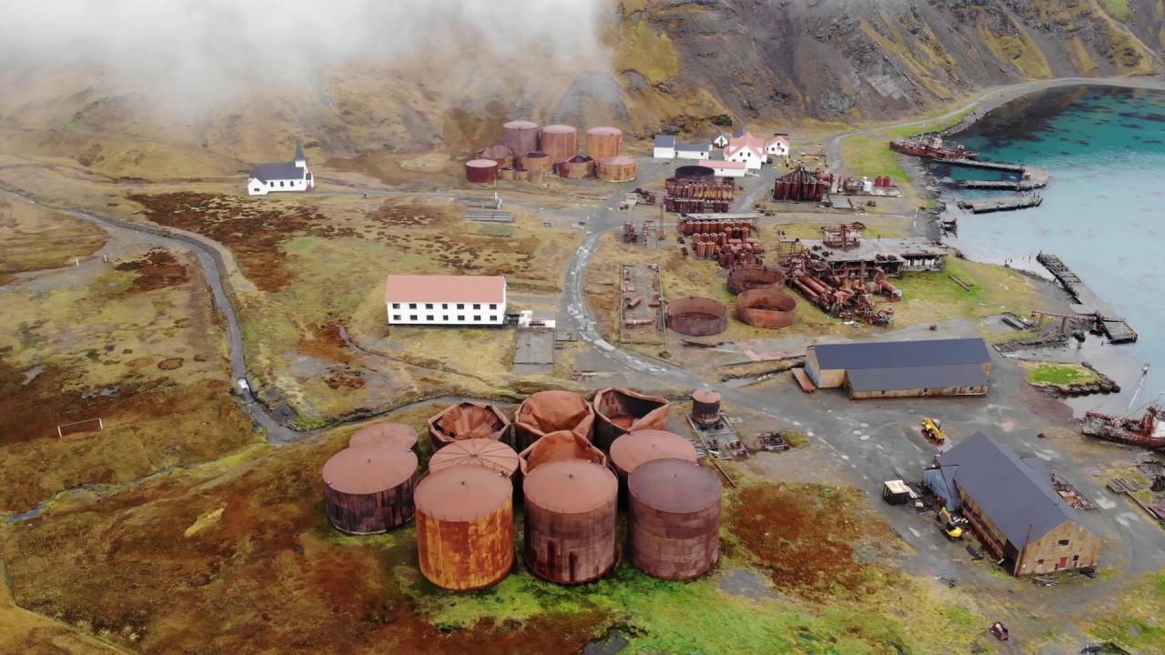 Rusheen Island Whaling StationRuins · 675 yd
 RoisínIslet · 736 yd
 Church (in Ruins)Church · 870 yd
 Enclosure in Inis Gé ThuaidhEnclosure · 1110 yd
 Inis Gé ThuaidhIsland · 1177 yd
 Cross in Inis Gé ThuaidhCross · 1307 yd
 Site of Redmond Barretts CastleCastle, unclassified · 4.0 mi
 Termon BeachBeach / strand · 4.6 mi
 Trá OilíBeach / strand · 5.3 mi
 Barranagh Castle in RuinsCastle, unclassified · 6.4 mi
 Saddle HeadHeadland · 7.7 mi
 AskilgubroenacoraghHeadland · 7.8 mi