What is recorded here
This record refers to a midden recorded by Henry (1945, Fig. 2) at roughly this location on a sketch plan of Inishkea South. It is indicated as ‘K.M’ (indicating ‘kitchen midden’) on the map at the NE end of the island; however, the imprecision of the map means that its exact location is uncertain. It may be the midden (MA023-018002-) exposed in the ruins of a prehistoric house (MA023-018001-) which is located in this area. At any rate no trace of any other midden is now evident at the N end of the island.
Compiled by: Jane O’Shaughnessy
Date of upload: 20 December 2022
The monument record does not grant public access. Check the route and ask the landowner before entering private land.
- What survives
- Recorded monument
Places near here
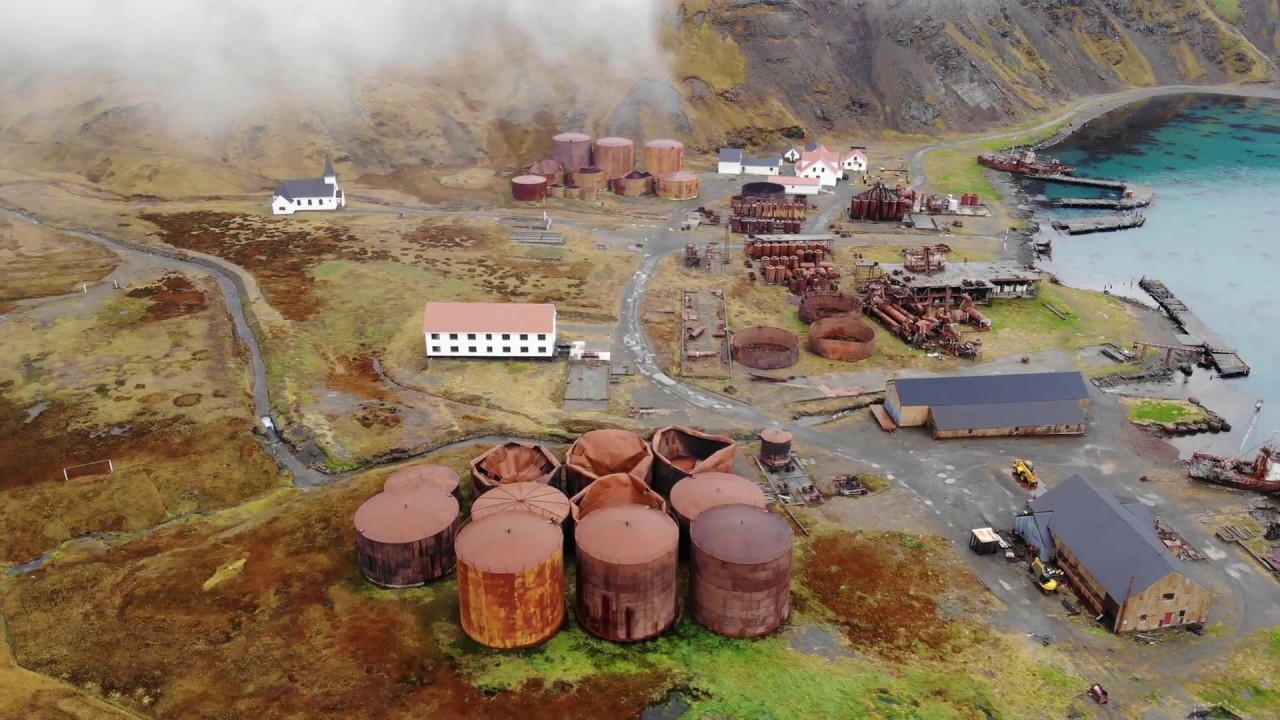 Rusheen Island Whaling StationRuins · 582 yd
 RoisínIslet · 629 yd
 Church (in Ruins)Church · 630 yd
 St. Derivlas WellHoly well · 1131 yd
 Enclosure in Inis Gé ThuaidhEnclosure · 1330 yd
 Inis Gé ThuaidhIsland · 1474 yd
 Site of Redmond Barretts CastleCastle, unclassified · 4.2 mi
 Termon BeachBeach / strand · 4.7 mi
 Trá OilíBeach / strand · 5.5 mi
 Barranagh Castle in RuinsCastle, unclassified · 6.6 mi
 Saddle HeadHeadland · 7.6 mi
 AskilgubroenacoraghHeadland · 7.7 mi