What is recorded here
Roughly 1.5km from the base of the Inch promontory, and c. 600m from High Water Mark on its W side, 2 small shell middens have been exposed in section, about 75m apart, high up in the face of a large sand-dune. They measure 2.5m long and .15m deep and 1.5m long and .1m deep respectively, and each is composed of a single layer of shells with some charcoal. Collapsed material from the W midden included cockle, periwinkle and mussel shells, animal bones, a flint flake, and a number of small iron fragments.
The above description is derived from J. Cuppage, ‘Corca Dhuibhne. Dingle Peninsula archaeological survey. Ballyferriter. Oidhreacht Chorca Dhuibhne’ (1986), no. 16. In certain instances the entries have been revised and updated in the light of recent research.
Date of upload: 3 August 2013
The monument record does not grant public access. Check the route and ask the landowner before entering private land.
- What survives
- Recorded monument
Places near here
 Inch BeachBeach / strand · 24 yd
 Church in Inch East (corkaguiny By.)Church · 1.6 mi
 Man-made underground passage in Ballycullane (corkaguiny By.)Man-made underground passage · 1.8 mi
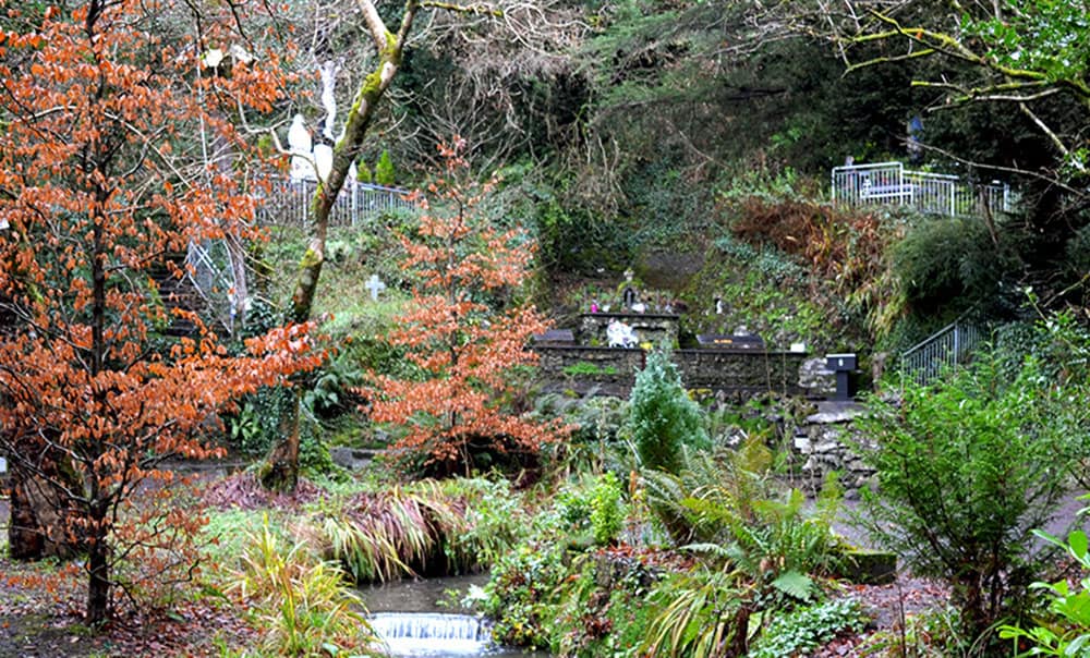 Holy well in BallinagrounHoly well · 2.1 mi
 Cromane BeachBeach / strand · 2.4 mi
 Cromane PointHeadland · 2.7 mi
 EmlaghMountain / peak · 2.7 mi
 BrickanyMountain / peak · 2.8 mi
 Church in LackChurch · 3.0 mi
 Lough Yganavan Nature ReserveNature reserve · 3.5 mi
 Lough Nambrackdarrig Nature ReserveNature reserve · 3.9 mi
 Rossbeigh BeachBeach / strand · 4.0 mi