What is recorded here
One of two small shell middens c. 75m apart. Described by Cuppage (1986, 16, no. 16) as follows; 'Roughly 1.5km from the base of the Inch promontory, and c. 600m from High Water Mark on its W side, 2 small shell middens have been exposed in section, about 75m apart, high up in the face of a large sand-dune. They measure 2.5m long and 0.15m deep and 1.5m long and 0.1m deep respectively, and each is composed of a single layer of shells with some charcoal. Collapsed material from the W midden included cockle, periwinkle and mussel shells, animal bones, a flint flake, and a number of small iron fragments'.
The monument record does not grant public access. Check the route and ask the landowner before entering private land.
- What survives
- Recorded monument
Places near here
 Inch BeachBeach / strand · 24 yd
 Church in Inch East (corkaguiny By.)Church · 1.6 mi
 Man-made underground passage in Ballycullane (corkaguiny By.)Man-made underground passage · 1.8 mi
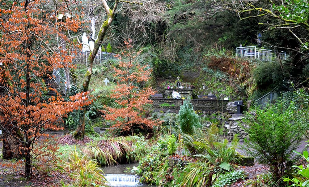 Holy well in BallinagrounHoly well · 2.1 mi
 Cromane BeachBeach / strand · 2.4 mi
 Cromane PointHeadland · 2.7 mi
 EmlaghMountain / peak · 2.7 mi
 BrickanyMountain / peak · 2.8 mi
 Church in LackChurch · 3.0 mi
 Lough Yganavan Nature ReserveNature reserve · 3.5 mi
 Lough Nambrackdarrig Nature ReserveNature reserve · 3.9 mi
 Rossbeigh BeachBeach / strand · 4.0 mi