What is recorded here
In sand dunes on a small headland jutting into the N side of Donegal Bay.
A thin layer (L 1.4m at least; T c. 0.05m) of sea shells is visible in section in the eroding S-facing slope of a sand dune, at a level c. 2.5m below the top of the dune. The shells –mussels, clams, periwinkles and limpets- occur in a matrix of grey sand, noticeably darker than the pale sand in the dunes as a whole. The layer is very degraded and gapped, intermittent traces are visible further to E, but its full extent is uncertain. There is a burial (DG099-022----) a few meters to W, and a hut site (DG099-020----) and cluster of cairns (DG099-021001---- to DG099-021006-) are located 90m to W in the same dune system.
Attached images:
DG099-023----_01.JPG Midden exposed in section
DG099-023----_02.JPG Location viewed from S
Compiled by: Jane O’Shaughnessy
Date of upload: 28 November 2019
The monument record does not grant public access. Check the route and ask the landowner before entering private land.
- What survives
- Recorded monument
Places near here
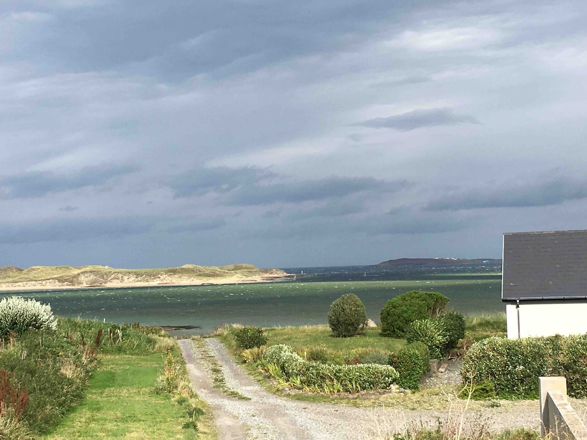 Summerhill Enclosure above Donegal BayEnclosure · 1135 yd
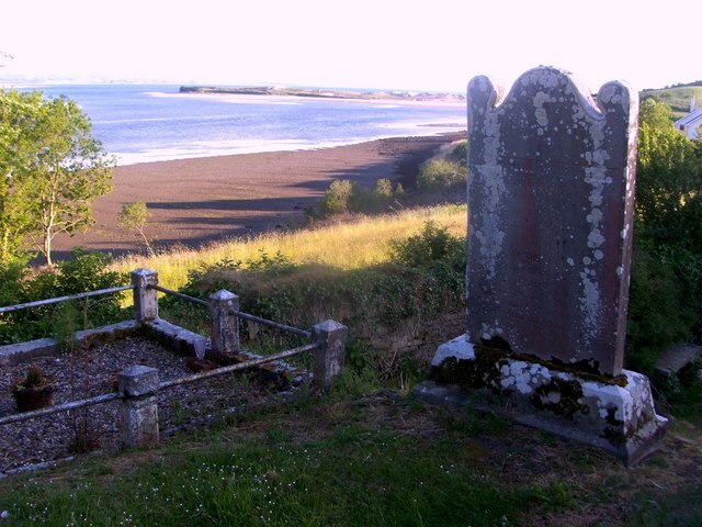 Killymard Old Church GraveyardGraveyard · 1157 yd
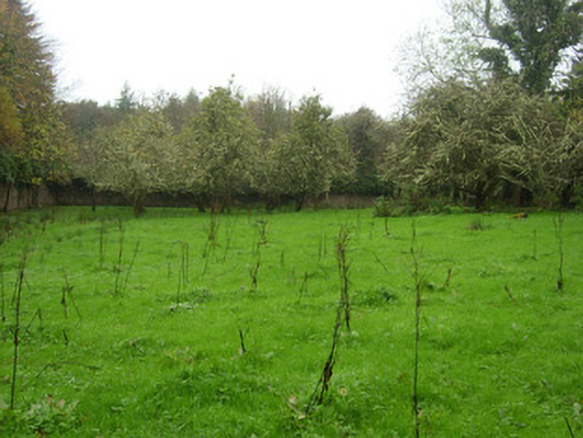 The Hallwalled garden · 1174 yd
 Mountcharles Church of Ireland Churchchurch/chapel · 1252 yd
 Former Summerhill EnclosureEnclosure · 1420 yd
 Ballyboyle Castle (Site of)Castle, tower house · 1.2 mi
 Salthill GardensHeritage attraction · 1.5 mi
 Ballyboyle IslandIslet · 1.5 mi
 Mac Manus Estate, RossylonganForest recreation place · 1.7 mi
 Wych ElmWych Elm · 1.7 mi
 Rooney's IslandIslet · 1.7 mi
 MurvaghOfficial bathing water · 2.4 mi