What is recorded here
Exposed in section on a shallow shelf of sea-eroded farmland, bordering a cobble beach on the S shoreline of a bay. The midden underlies a layer of sod and topsoil (D c. 0.2m). It is evident as a dense layer (D 0.5-1m) of shells, predominantly limpets, periwinkles and oyster, intermixed with stones and occasional large animal bones, in a matric of dark soil. The full extent of the midden is unclear; the eroding section face can be traced for c. 20-30m E-W. A tower house (MA034-002001-) and bawn (MA034-002002-) are located immediately to S of the midden. Part of the bawn wall appears to overlie or cut the midden. (Pers. comm. Eve Campbell, Achill Field School, 11 August 2016).
Compiled by: Jane O’Shaughnessy
Date of upload: 16 August 2016
The monument record does not grant public access. Check the route and ask the landowner before entering private land.
- What survives
- Recorded monument
Places near here
 Church in ruinsChurch · 334 yd
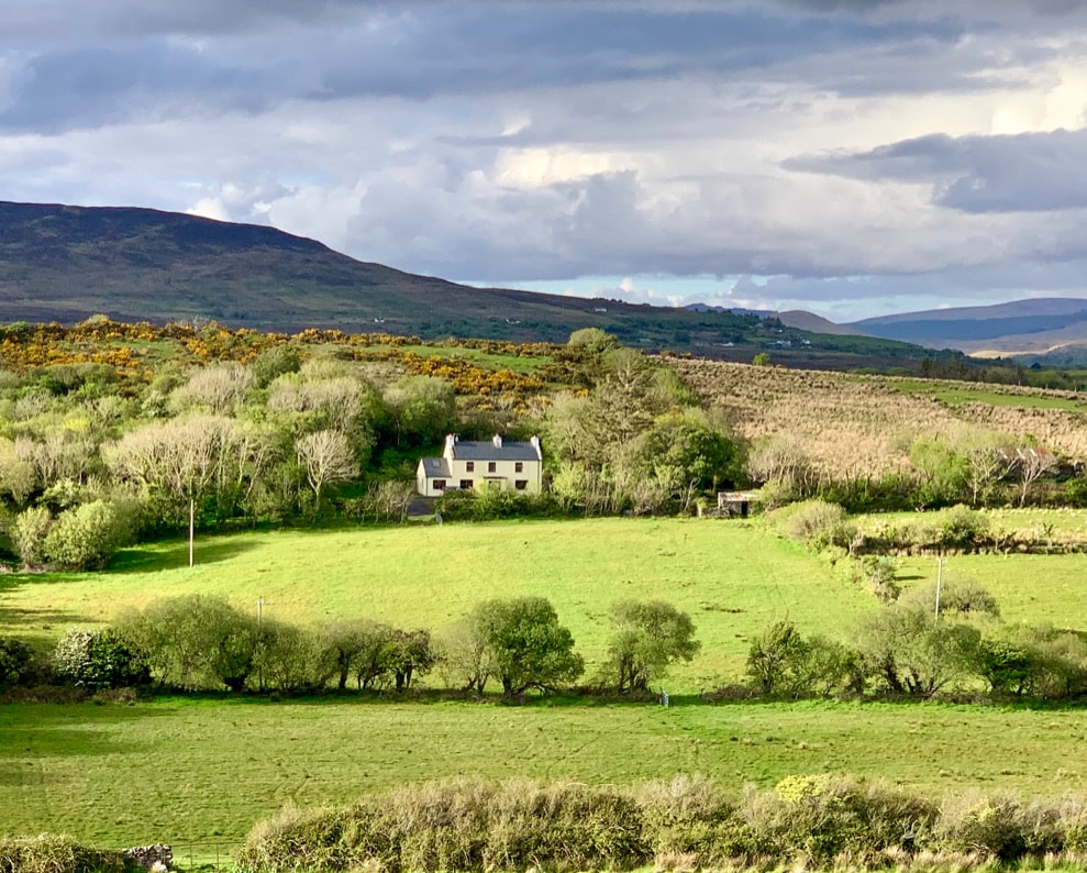
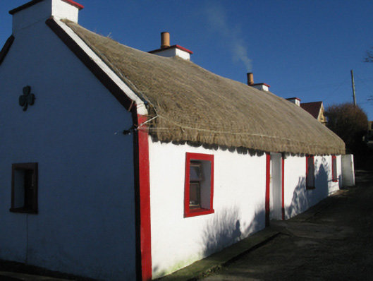 farm housefarm house · 1.8 mi
 Enclosure in Knockmoyleen (erris By.)Enclosure · 2.0 mi
 Rinn Inis PotaireHeadland · 2.7 mi
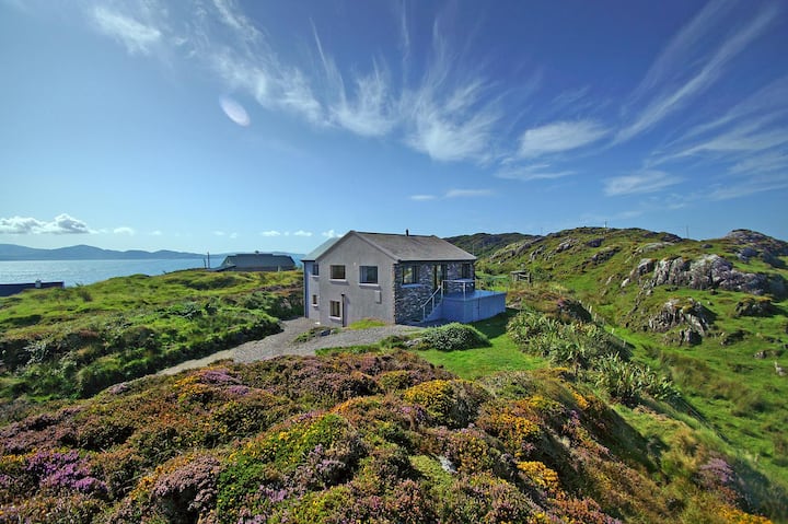 An Ceann RamharHeadland · 2.9 mi
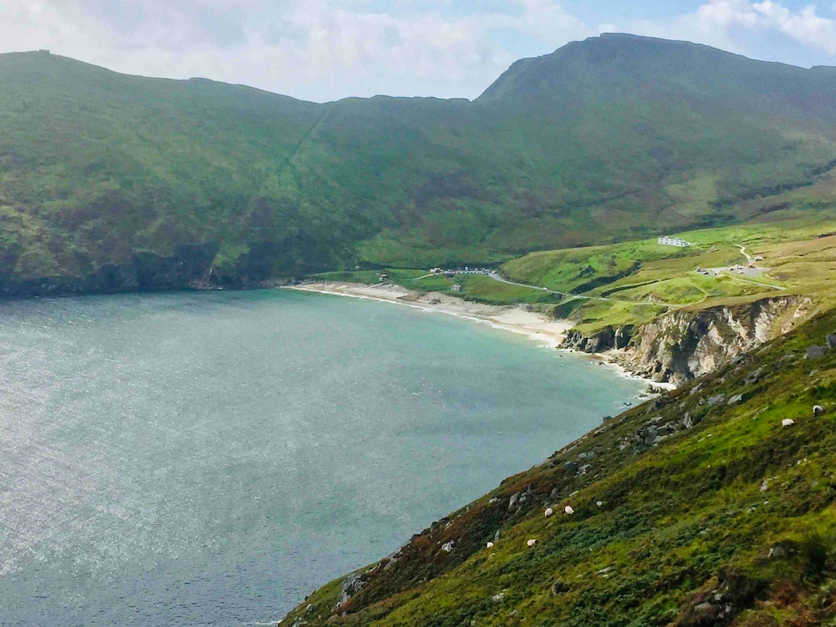 Trá na nAscaillBeach / strand · 3.0 mi
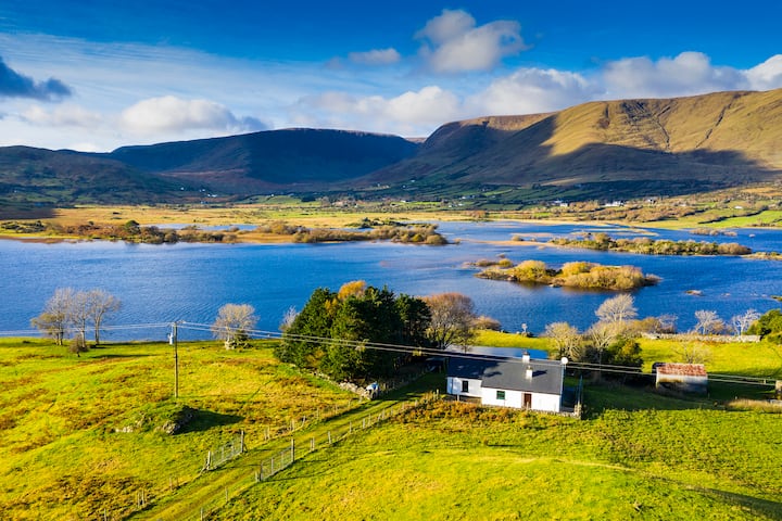 Illannamona IslandsIslet · 3.0 mi
 InishaghooIslet · 3.0 mi
 IndicatedEnclosure · 3.3 mi
 Trá Ghob na hAirdeBeach / strand · 3.5 mi
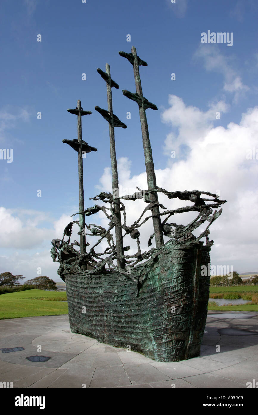 Cillín MemorialMemorial · 4.0 mi
 Wild Atlantic Way:Visitor information · 4.5 mi