What is recorded here
Eleven Ballyboes holds a drowned kitchen where human hands still shape the dark water. The cove is not empty, since flint blades and cores appear on the rocks when the sea pulls back. They may have fallen from a lost shore above, or they may have been washed out of a whole landscape now sleeping under Lough Foyle. Either way, the cove is a place where memory has stopped belonging to one time.
At a small rocky cove on the NW shoreline of Lough Foyle. A large amount of worked flint was found lying on the beach in the intertidal zone, only accessible during low tides (McNaught 1998; SMR File; NMI Report 23 September 1999). This material may have eroded out of a midden/settlement site located above the beach. Alternatively, it is possible that it was washed out of a palaeo-landscape which has since been inundated by the sea and now lies beneath the waters of Lough Foyle (Costa et al. 2001, 1; Westley 2015, 243-257). Similar lithics were recovered at the W end of this cove (DG022-012----; DG022-013) and at the adjacent cove (DG022-011----) c. 90m to E. The flints, which include flakes, blades and cores, have been typologically dated to the Earlier Mesolithic period (Costa et al. 2001, 1-8). Another concentration of flints (DG022-014----) was recovered in 2019 c. 100m to NW.
Compiled by: Jane O'Shaughnessy
Date of revised upload: 27 October 2021
The monument record does not grant public access. Check the route and ask the landowner before entering private land.
- What survives
- Recorded monument
Places near here
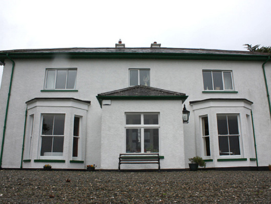 Porta Villahouse · 222 yd
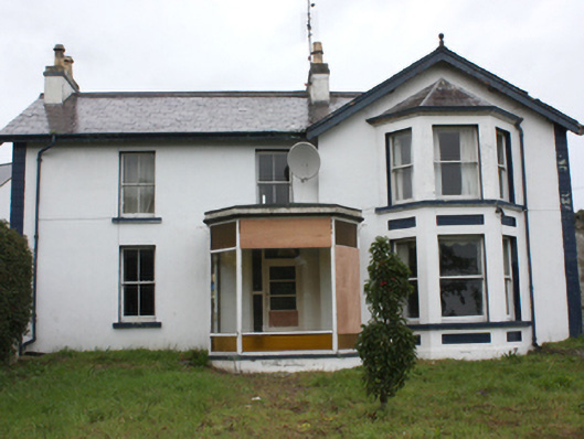 Tardrum Househouse · 383 yd
 Greencastle Martello FortCastle · 680 yd
 Greencastle / Northburgh CastleCastle, Anglo-Norman masonry castle · 777 yd
 Sweet Nellie'sBeach / strand · 1299 yd
 Inishowen Maritime Museum and PlanetariumMuseum · 1608 yd
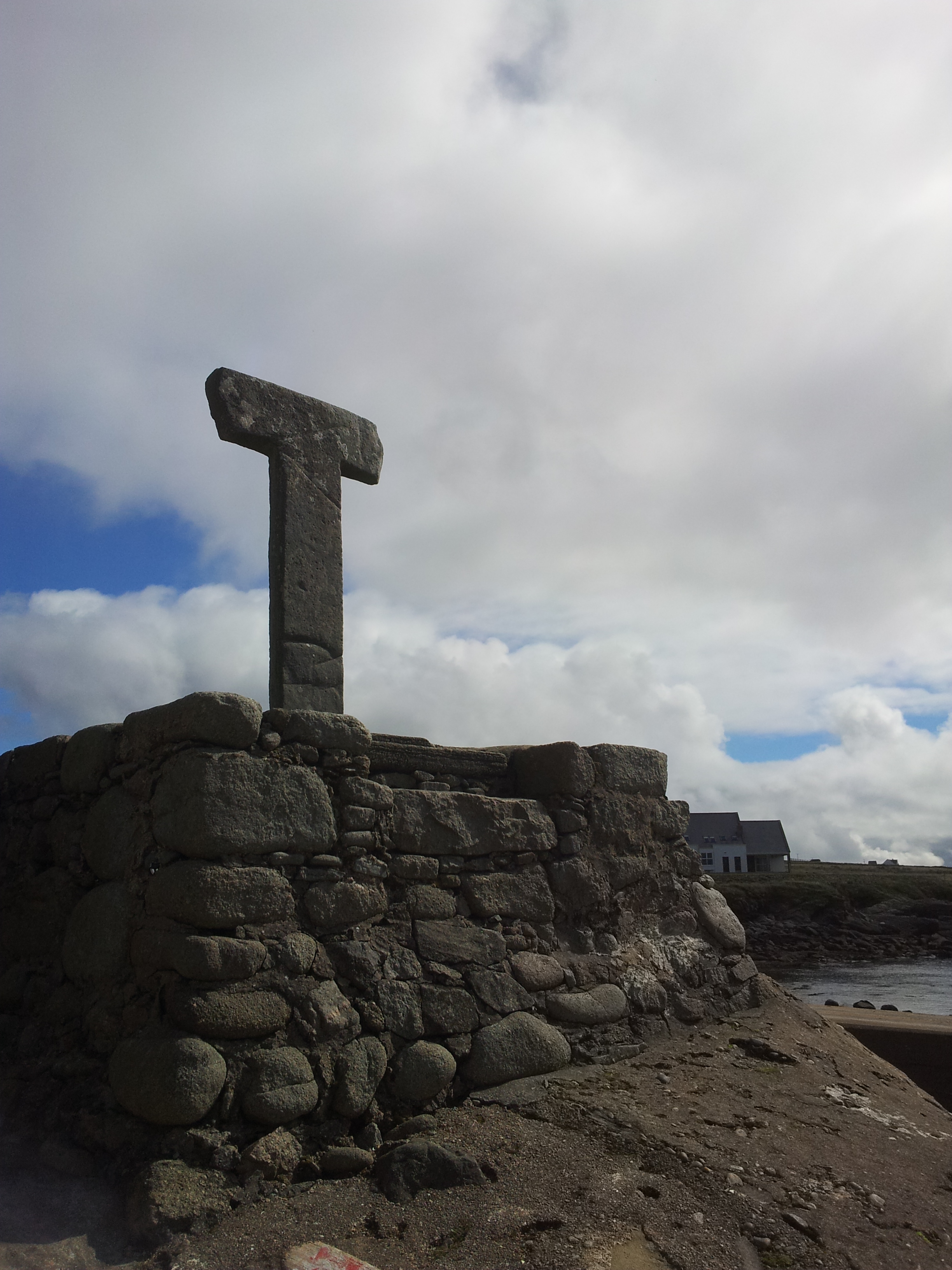 Cross in CarrowhughCross · 1678 yd
 MARTELLO TOWER ON MAGILLIGAN POINT in Doaghs LowerMARTELLO TOWER ON MAGILLIGAN POINT · 1.0 mi
 White StrandBeach / strand · 1.2 mi
 Dunagree PointHeadland · 2.1 mi
 CrockaulinMountain / peak · 2.4 mi
 Cliffs, Inishowen HeadPublicly named cliff or headland · 2.4 mi