What is recorded here
Situated in the vertical face of small headland extending into Ballysadare Bay at the SE end of Culleenamore Strand. The midden is visible as a band (L. c. 70m T 0.3-0.5m) of shell 0.3-0.4cm below the sod and 0.4m above the foreshore. The midden material consists primarily of oyster shells with some limpets also visible. Occasional concentrations of ash and charcoal rich soil are visible within the midden material. A C14 date of 860 +/- 60 bp (calibrated date range 1010 – 1250 AD) was recovered from oyster shell at this midden (Laboratory: Beta 161648) (Milner & Woodman 2007, 104).
Compiled by: Mark Keegan, Paul Walsh
Date of upload: 25 June 2012
The monument record does not grant public access. Check the route and ask the landowner before entering private land.
- What survives
- Recorded monument
Places near here
 CulleenamoreBeach / strand · 874 yd
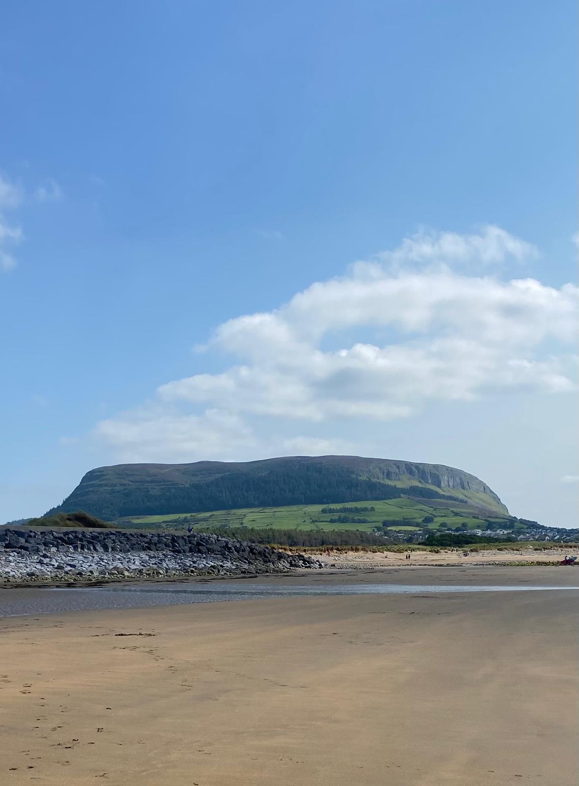 Enclosure in CulleenamoreEnclosure · 908 yd
 Habitation site in CarrowdoughHabitation site · 978 yd
 Herdsman’s HutRuins · 1589 yd
 KnocknareaMountain / peak · 1.0 mi
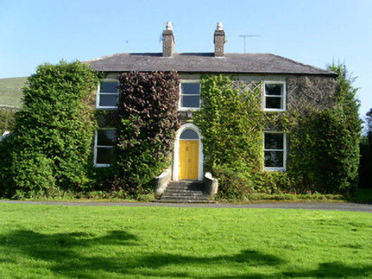 Glen Lodgehouse · 1.1 mi
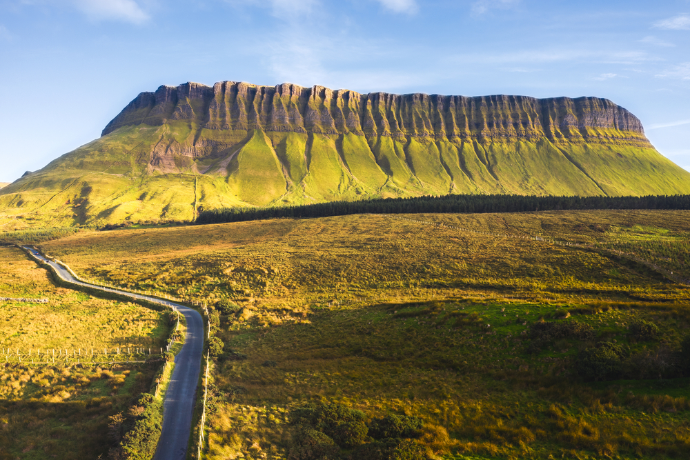 SuperHeritage attraction · 1.2 mi
 The GlenWood · 1.2 mi
 Knocknarea trailWalking route · 1.3 mi
 Portavaud PointHeadland · 1.3 mi
 Ballinlig PointHeadland · 1.3 mi
 Lahanacappul IslandIslet · 1.6 mi