What is recorded here
In the 1940s a possible midden consisting of a pile of cockle shells 'as if it were an ancient habitation' was recorded (ITA). The exact location of this possible midden is not known. The eroding seashore and the top of the strand on the E side of Coolmain Bay were examined but no trace of a shell midden was noted. There is no local knowledge of a shell midden in this area.
The above description is derived from 'The Archaeological Inventory of County Cork. Volume 5' (Dublin: Stationery Office, 2009).
Date of upload: 22 December 2009
The monument record does not grant public access. Check the route and ask the landowner before entering private land.
- What survives
- Recorded monument
Places near here
 Castle (in Ruins)Castle, tower house · 228 yd
 Coolmain Castlecastle/fortified house · 404 yd
 Scott's StrandBeach / strand · 519 yd
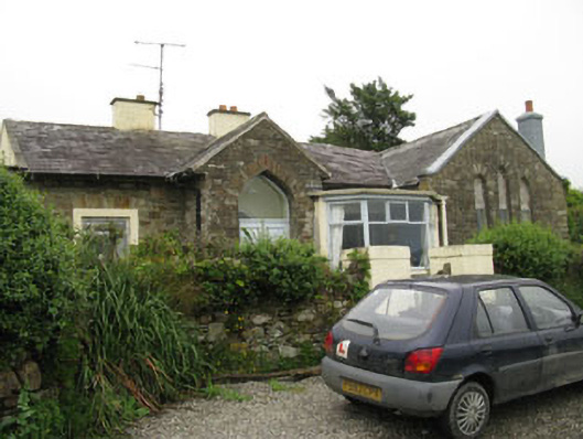 church/chapelchurch/chapel · 806 yd
 Garranefeen StrandBeach / strand · 1562 yd
 Man-made underground passage in CourtmacsherryMan-made underground passage · 1.4 mi
 Enclosure in Rochestown (carbery East (e.d) By.)Enclosure · 1.5 mi
 Garranereagh WoodWood · 1.6 mi
 Courtmacsherry LoopWalking route · 1.8 mi
 Quay WoodWood · 1.8 mi
 CourtCastle, unclassified · 1.9 mi
 Hackstown Raised Beach GeologyNamed rock · 1.9 mi