What is recorded here
Described in 2001 as 'Harte referred to a shell midden which he discovered on the Inch Island end of the Inch Road embankment. With reference to the embankment he noted 'No 2 is at te opposite end on Inch Island'. While he referred also to a good section being evident he noted 'No 2 is nearly all removed for filling or manure'. Harte's observations that the sites 1, 2 and 3 were 12-14 feet from high water suggests that the three cottages built at the immediate end of the embankment may have removed any final remnant of the midden. The corner of the field immediately behind these cottages was examined and only occasional fragments of shell were noted in the topsoil. A small selection of flint artefacts had been recovered from the corner of this field' (Woodman & Milner 2001, 7-8; Milner & Woodman 2007, 104-5, No. 2).
Compiled by: Caimin O'Brien
Date of upload: 17 August 2010
The monument record does not grant public access. Check the route and ask the landowner before entering private land.
- What survives
- Recorded monument
Places near here
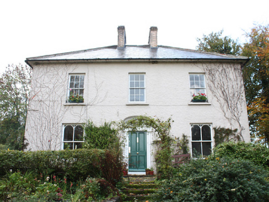 The Mansemanse · 791 yd
 Baylet Fairy FortFairy fort / earthen ringfort · 1086 yd
 Former Carrickanee Fairy FortFairy fort / ringfort · 1247 yd
 Mass RockNamed rock · 1363 yd
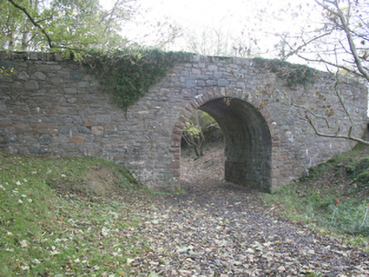 bridgebridge · 1365 yd
 Bawn in An Machaire Beag (tc Fathain)Bawn · 1449 yd
 InchIsland · 1.4 mi
 King's GraveArchaeological place · 1.5 mi
 Old CastleCastle, tower house · 1.6 mi
 Lackan ForestForest · 1.9 mi
 Cashel HillMountain / peak · 1.9 mi
 Brown’s PointHeadland · 1.9 mi