What is recorded here
The N side of the sandy isthmus that joins the western end of Beginish Island to Canroe is heavily eroded. The erosion has exposed a shell midden 14m from the high water mark, as well as a number of old field walls (KE079-031001-) built of water-rolled stones. The exposed deposit is an irregular spread of shells and stones that measures 4.1m NW-SE x 2m NE-SW and averages .2m thick. Though composed mainly of limpets, the midden also contains scallop and oyster shells. The stones are water-rolled pebbles, many of which are shattered, and the deposit also includes animal bone and some red deer teeth. A sample of limpet shells from the midden yielded a radiocarbon date of 2380±50 BP (Su-1788).
In 1983 a stone axehead was found protruding from the edge of the midden, and in 1988 a granite pounder with abraded ends was found resting on its upper surface. Both objects are now in NMI (1988:221; 1988:222).
The above description is derived from A. O'Sullivan and J. Sheehan (compilers), 'The Iveragh peninsula: an archaeological survey of South Kerry'. Cork University Press (1996), no. 3. In certain instances the entries have been revised and updated in the light of recent research.
Date of upload: 28 July 2013
The monument record does not grant public access. Check the route and ask the landowner before entering private land.
- What survives
- Recorded monument
Places near here
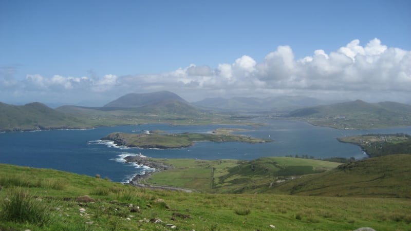 Enclosure in Beginish (iveragh By.)Enclosure · 285 yd
 Beginish IslandIsland · 319 yd
 Church in Beginish (iveragh By.)Church · 540 yd
 Field system in Beginish (iveragh By.)Field system · 895 yd
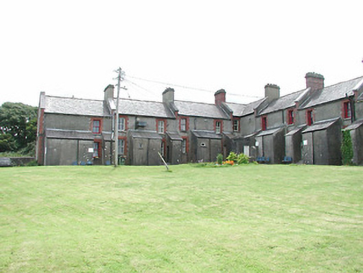 coastguard stationcoastguard station · 1405 yd
 White Strand BeachBeach / strand · 1.0 mi
 Cromwell PointHeadland · 1.1 mi
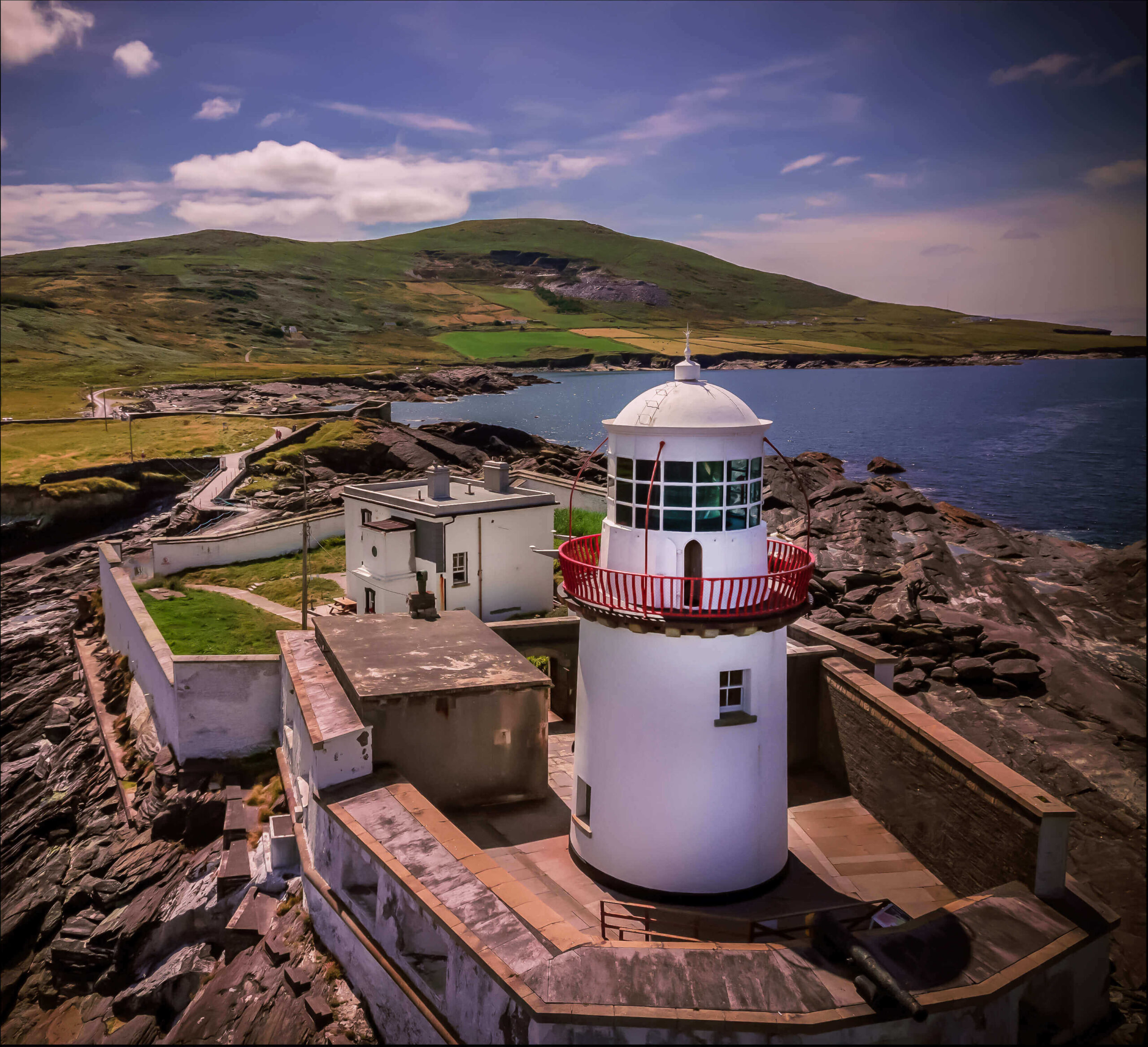 Valentia Island LighthouseMuseum · 1.1 mi
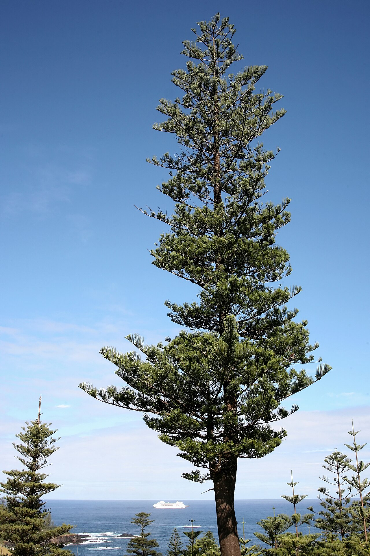 Norfolk Island AraucariaNorfolk Island Araucaria · 1.2 mi
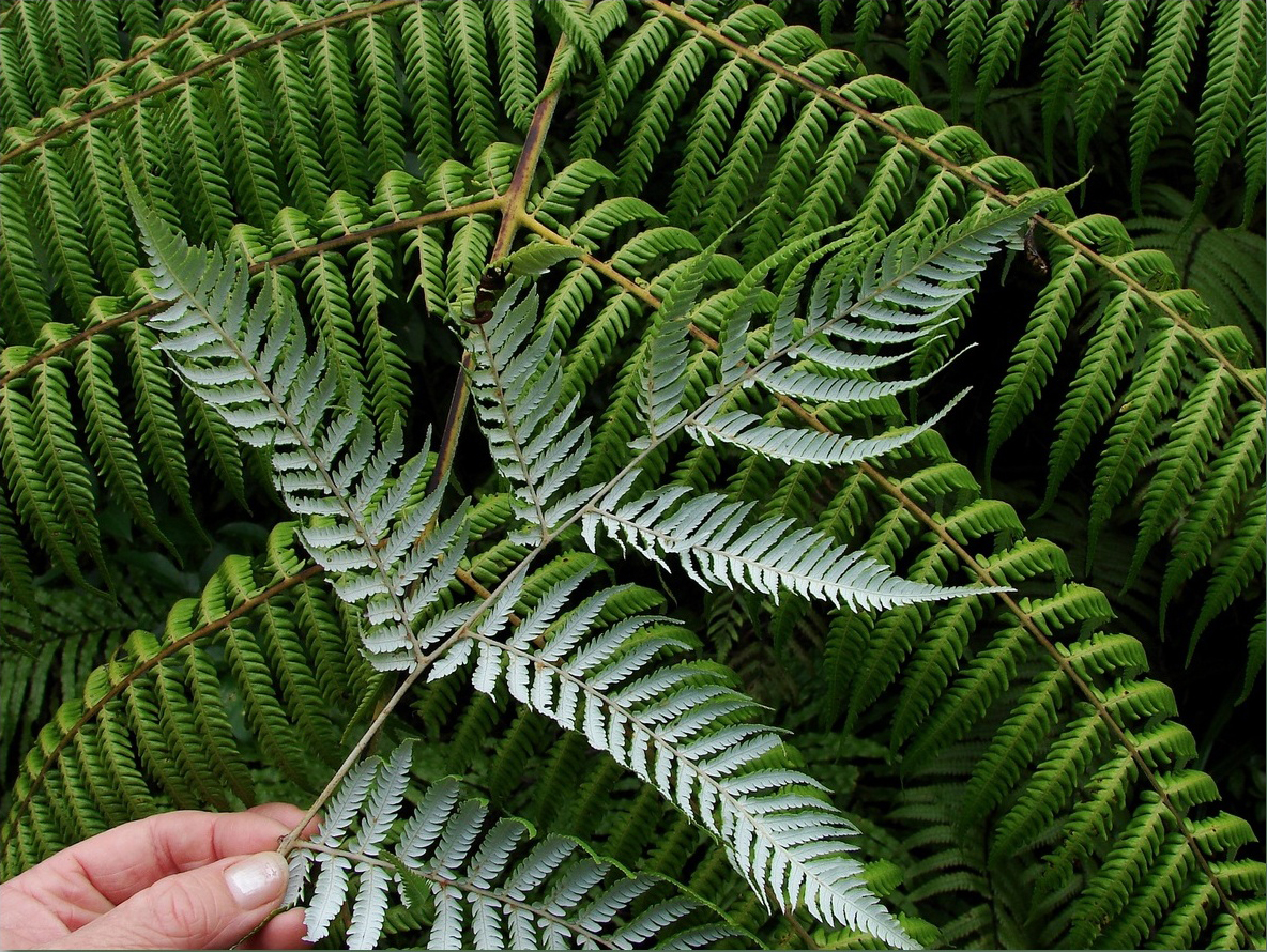 Silver tree fernSilver tree fern · 1.2 mi
 Kilbeg MountainMountain / peak · 1.4 mi
 Killelan MountainMountain / peak · 1.4 mi