What is recorded here
In the estuary of the River Moy, located at the SE end of Bartragh Island. This midden is exposed in section in the eroding land face at the SE tip of the island. It is located at a height of c. 2-2.5m above the shoreline, and c. 1m below the sod line. It is visible as a layer (L c. 4-5m E-W; D 0.10-0.2m) of predominately cockle shells. Its location impedes close examination. There is another midden (MA022-120----) c. 40m to W.
Compiled by: Jane O'Shaughnessy
Date of upload: 19 September 2012
The monument record does not grant public access. Check the route and ask the landowner before entering private land.
- What survives
- Recorded monument
Places near here
 Enclosure in Bartragh IslandEnclosure · 347 yd
 Bartragh Housecountry house · 648 yd
 Horse IslandIslet · 778 yd
 Goose IslandIslet · 1527 yd
 Barnasock PointHeadland · 1597 yd
 Gortabradawn PointHeadland · 1.0 mi
 Ballysakeery CastleCastle, unclassified · 1.1 mi
 IndicatedFairy fort / earthen ringfort · 1.1 mi
 Enniscrone BeachBeach / strand · 1.2 mi
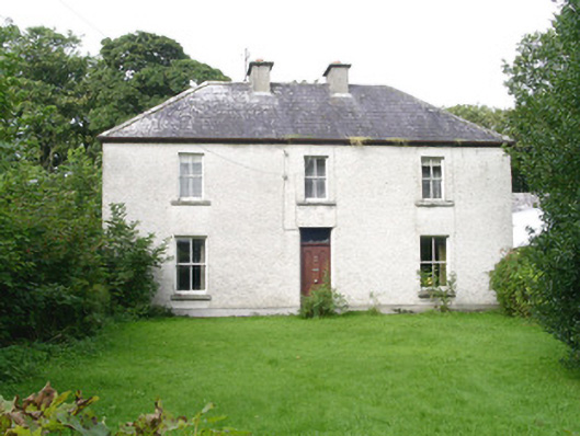 Ashdalehouse · 1.2 mi
 The Black PigMemorial · 1.4 mi
 Moyne AbbeyHeritage attraction · 1.5 mi