What is recorded here
Located on top of a shoreline cliff, which drops to an expanse of limestone rocks extending into the sea, at the W end of Ballyconnell beach. The midden is exposed in section beneath a layer of sod and dark brown top soil, at a depth of c. 0.4-0.5m below the grass-covered top of the cliff. It is visible as a dense concentration (L 8-10m NW−SE; D 0.2-0.4m) of limpet shell. There appear to be small quantities of periwinkles in dark, pebble-rich soil directly above the limpets. The shell layer overlies a layer (D c. 0.2-0.3m) of orange-brown, relatively stone free soil, which in turn overlies natural orange-brown stony boulder clay (D 0.8-1m). Beneath the latter, are further layers of gravel and stone dropping to the base of the cliff.
According to local information, the pasture field on top of the cliff was the location for ‘bothies’, temporary huts or shelters erected during the summer season for minding cattle, which were grazing along the shoreline. One possibility is that the midden is related to that activity.
Compiled by: Jane O’Shaughnessy
Date of upload: 29 June 2017
The monument record does not grant public access. Check the route and ask the landowner before entering private land.
- What survives
- Recorded monument
Places near here
 DuneelPromontory fort, coastal · 37 yd
 St. Columbkilles WellHoly well · 1638 yd
 Knocklane CastleRuins · 1.1 mi
 Knocklane Signal TowerRuins · 1.1 mi
 Horse IslandIslet · 1.4 mi
 Yellow StrandBeach / strand · 1.7 mi
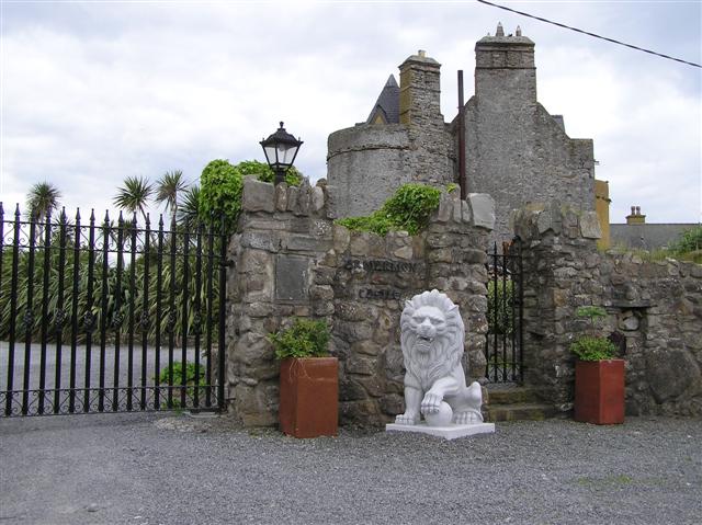 Bawn in ArdtermonBawn · 2.3 mi
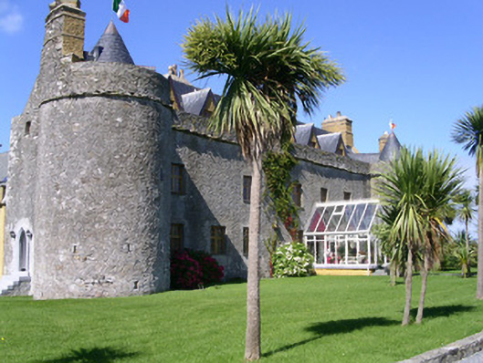 Ardtarmon Castlecastle/fortified house · 2.3 mi
 Ardtermon StrandBeach / strand · 2.5 mi
 Coastguard StationRuins · 2.8 mi
 Forester's WoodForest · 3.7 mi
 Church Hill WoodWood · 4.1 mi