What is recorded here
Not marked on any edition of the OS 6-inch map. Situated on the E side of a penninsula which juts NNE-wards into Ballisodare Bay. A dense layer of oyster shells (T 0.3m - 0.4m) in a matrix of dark soil is visible along most of a 400m long length of coastline. At the NE of the penninsula the lens is overlain by a layer of sand and is underlain by a stony subsoil. The greatest concentration is at a D-shaped projection of land at the SE of the penninsula. Firstly there is a lens at the shoreline. Secondly there is a naturally-occurring pool of water c.45m back from the shoreline. Between the shore and the pool are large quantities of midden material. The greatest concentration (dims. c.50m N-S; c.30m E-W) is adjacent to the E shoreline of the pool. (Synge 1985, 128)
Compiled by: Patrick F. O'Donovan
Date of upload: 19 January 2011
The monument record does not grant public access. Check the route and ask the landowner before entering private land.
- What survives
- Recorded monument
Places near here
 Enclosure in Ballinlig (tireragh By.)Enclosure · 222 yd
 Lahanacappul IslandIslet · 407 yd
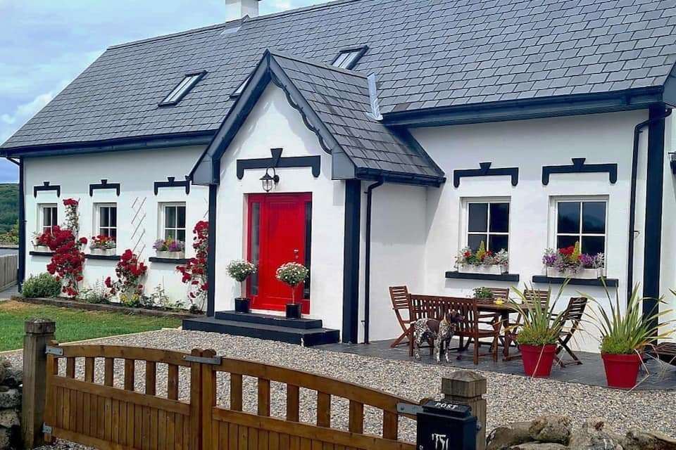 Hut site in Ballinlig (tireragh By.)Hut site · 520 yd
 Ballinlig PointHeadland · 525 yd
 Portavaud PointHeadland · 842 yd
 CastleCastle, ringwork · 1273 yd
 Bawn in Tanrego WestBawn · 1650 yd
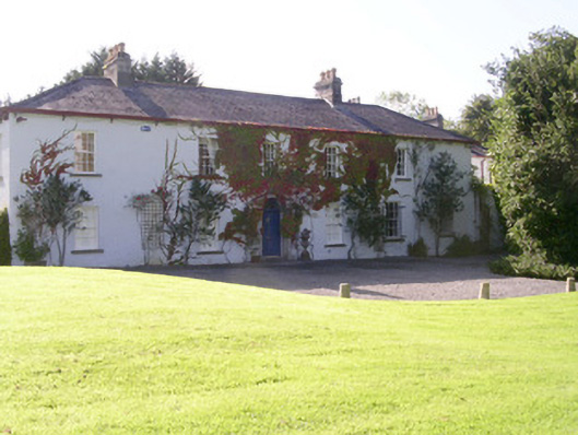 Tanrego Househouse · 1.0 mi
 Carrowgarry Househouse · 1.1 mi
 Giant's GraveArchaeological place · 1.2 mi
 CulleenamoreBeach / strand · 1.3 mi
 Strandhill BeachBeach / strand · 2.1 mi