What is recorded here
Amongst the sand-dunes at SW end of the peninsula which terminates in the island archipelago of Slyne Head. An extensive series of middens exposed in the eroding faces and basins of the dunes. Layered deposits containing charcoal, burnt stones and a wide variety of shells including periwinkle, whelk and broken limpets are visible, as are a number of walls and a possible hut. The 'circular ... stone hut' noted by Praeger (1980, 167) 'near Slyne Head' may have been located in this area. (Killanin 1954, 94; Killanin and Duignan 1967, 94)
The above description is derived from the published 'Archaeological Inventory of County Galway Vol. I - West Galway'. Compiled by Paul Gosling (Dublin: Stationery Office, 1993).
Date of upload: 05 August 2010
The monument record does not grant public access. Check the route and ask the landowner before entering private land.
- What survives
- Recorded monument
Places near here
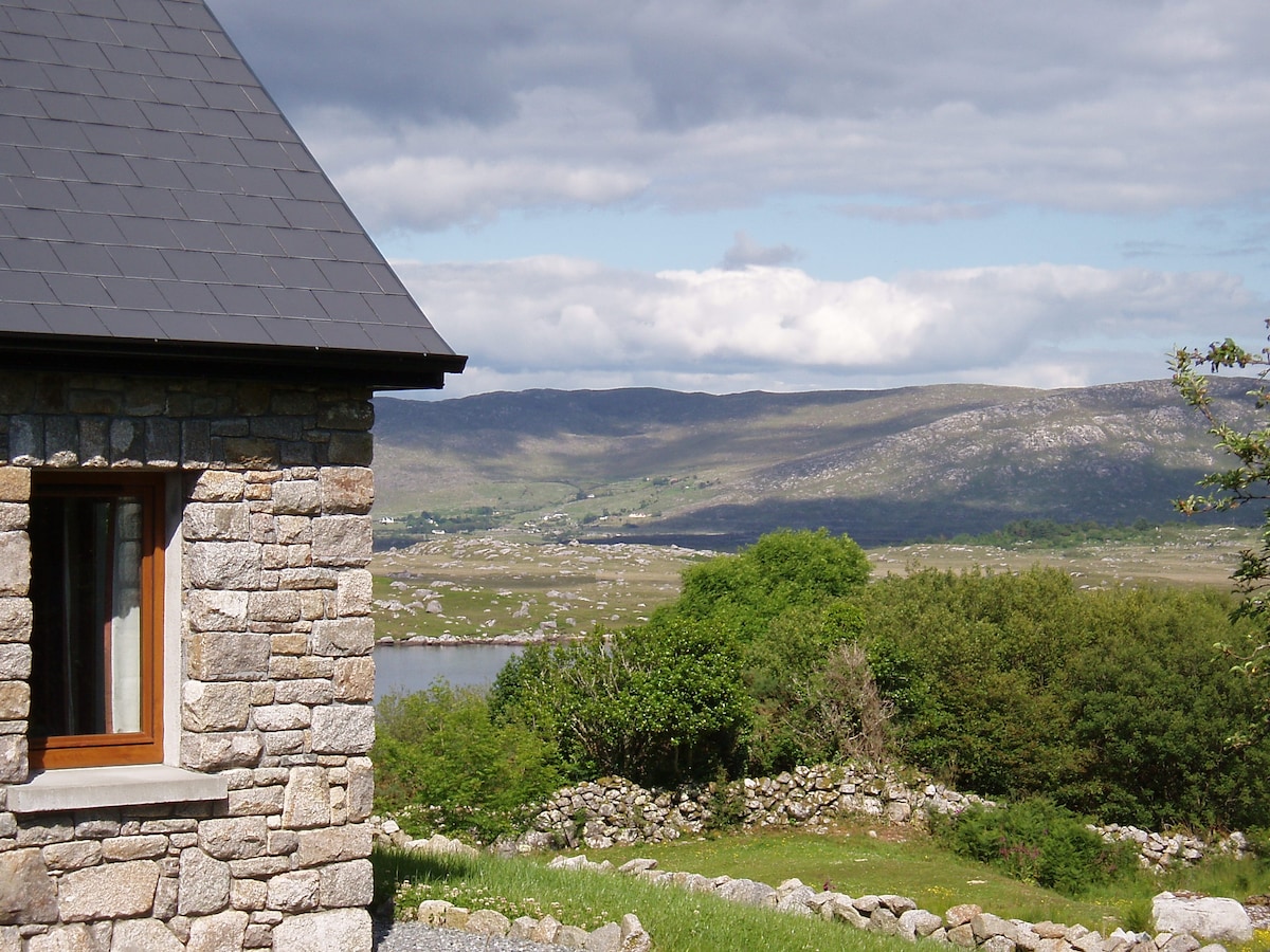 Hut site in BallinaleamaHut site · 151 yd
 Penitential station in KeerhaunmorePenitential station · 464 yd
 Riding StableHeritage attraction · 1249 yd
 CaherFairy fort / stone ringfort · 1353 yd
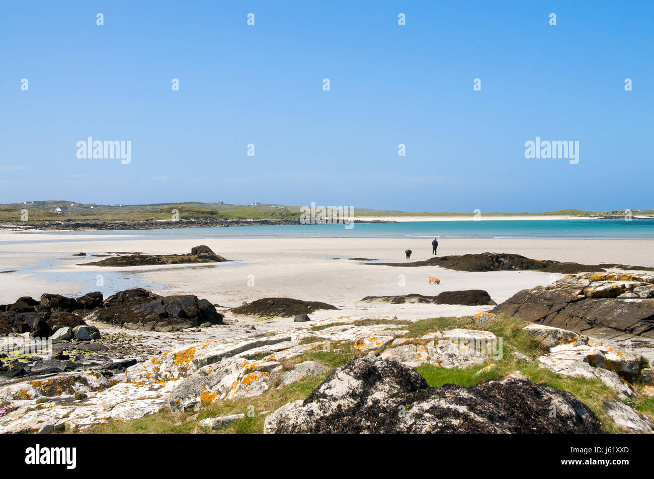 InisheeshalmoreIslet · 1367 yd
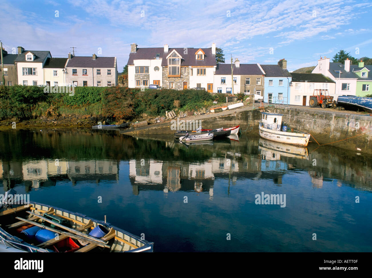 CarrickaroneIslet · 1.2 mi
 St. Caillins Chapel (in ruins)Church · 1.8 mi
 Doon HillMountain / peak · 2.5 mi
 Slyne HeadHeadland · 2.7 mi
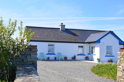 Bawn in Bunowen MoreBawn · 3.0 mi
 Mannin BayBay · 4.8 mi
 Mannin Bay Coral StrandBeach / strand · 5.0 mi