What is recorded here
Evans recorded a mound of iron slag, containing animal bones, shells, stone implements and pottery in Magheragallan. (1941, 71-75). A dark layer in a sand face at Ardnagappary to the S may be an extension of the Magheragallan layers.
The above description was derived from the 'Archaeological Survey of County Donegal. A description of the field antiquities of the County from the Mesolithic Period to the 17th century.' Compiled by: Brian Lacey with Eamon Cody, Claire Cotter, Judy Cuppage, Noel Dunne, Vincent Hurley, Celie O'Rahilly, Paul Walsh and Seán Ó Nualláin (Lifford: Donegal County Council, 1983). In certain instances the entries have been revised and updated.
Date of upload: 22 September 2008
The monument record does not grant public access. Check the route and ask the landowner before entering private land.
- What survives
- Recorded monument
Places near here
 Magheragallon Stone RingfortFairy fort / stone ringfort · 258 yd
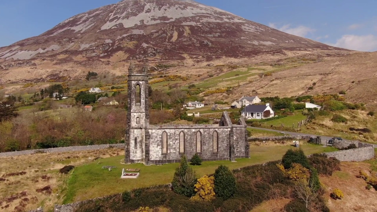 Magheragallan Old ChurchChurch · 615 yd
 Magheragallan Church EnclosureEnclosure · 627 yd
 Trá Dún MórBeach / strand · 1631 yd
 An tOileán CarrachIslet · 1743 yd
 Portarthur, DerrybegOfficial bathing water · 1.3 mi
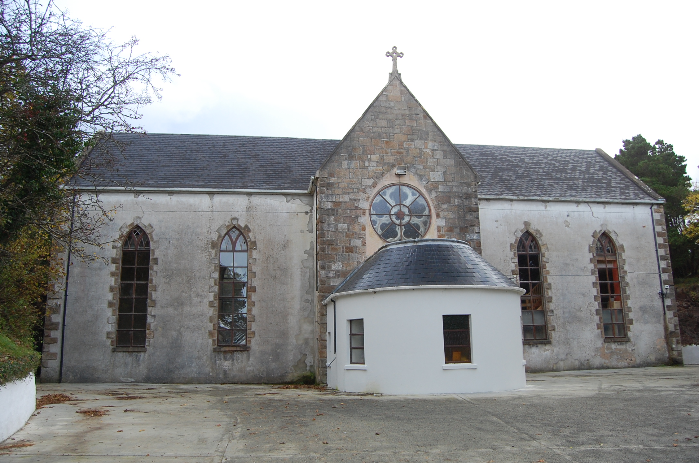 Bunbeg Community Centrechurch/chapel · 1.4 mi
 GabhlaIsland · 1.7 mi
 Inland CragCliff · 2.2 mi
 Main WallCliff · 2.3 mi
 CarrickfinnOfficial bathing water · 2.9 mi
 Cnoc FolaMountain / peak · 4.5 mi